Ghātāl night lights from space
Night Light of Ghātāl (West Bengal) from space (India) Src. Average luminocity for 10x10km area is 10.3294% and for 50x50km: 11.4896%.
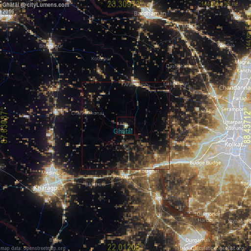
Analysis of Ghātāl night lights 2016
Square area 10x10 km:
 0.79%
0.79%90-99
0.6%80-89
0.4%70-79
1.39%60-69
0%50-59
3.17%40-49
1.98%30-39
2.78%20-29
4.96%10-19
2.18%0-9
81.75%Square area 50x50 km:
0.21%90-99
0.89%80-89
0.57%70-79
0.67%60-69
1.24%50-59
2.21%40-49
4.4%30-39
4.64%20-29
6.28%10-19
7.02%0-9
71.88%Clear (daylight) street map image can be seen on geolist.org.
Map coordinates:
23° 18' 35" North, 87° 1' 51.1" East
22° 39' 44.8" North, 87° 44' 2.4" East
22° 0' 43.5" North, 88° 26' 13.6" East
Some cities around Ghātāl sort by population:
• Arāmbāgh
25.1 km =15.6 mi,  11°
11°
• Tarakeswar
37.9 km =23.5 mi,  49°
49°
• Chandrakona
23.6 km =14.7 mi,  289°
289°
• Rāmjībanpur
22.5 km =14 mi,  325°
325°
• Āmta
29.7 km =18.5 mi,  107°
107°
• Bāli Chak
38 km =23.6 mi,  209°
209°
• Kharar
8.8 km =5.5 mi,  319°
319°
• Gobindapur
37.5 km =23.3 mi,  101°
101°
1271346 (p: 54,658)
Sources (retrieved 2019-11-25):
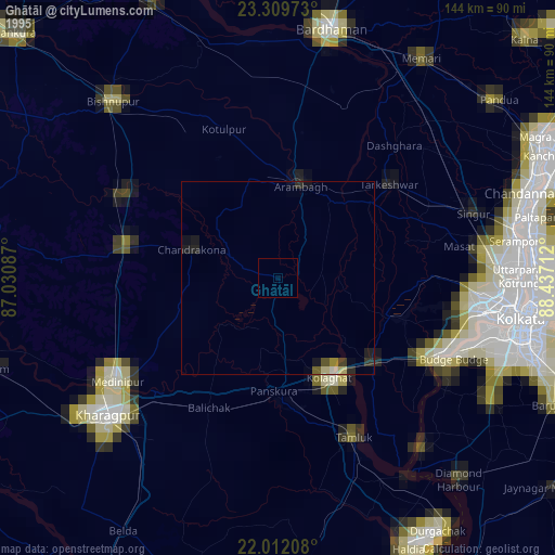
» NASA, Earths city lights 1995
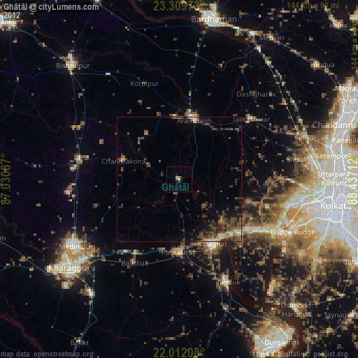
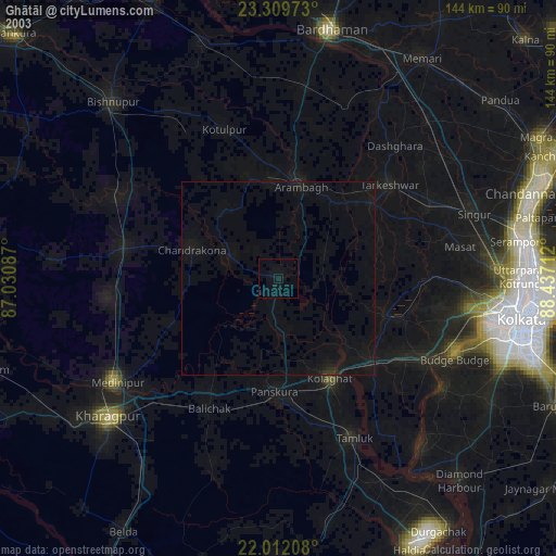
» NASA city lights 2003
» Earth at Night: Flat Maps 2012, 2016