Dhrol night lights from space
Night Light of Dhrol (Gujarat) from space (India) Src. Average luminocity for 10x10km area is 11.2008% and for 50x50km: 4.2339%.
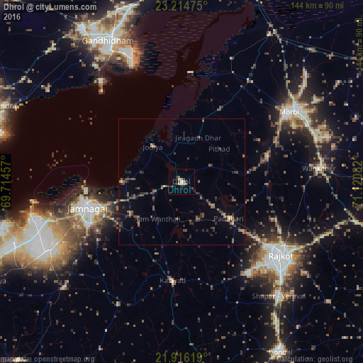
Analysis of Dhrol night lights 2016
Square area 10x10 km:
 0.19%
0.19%90-99
1.33%80-89
2.27%70-79
1.52%60-69
0.95%50-59
0.57%40-49
2.65%30-39
4.36%20-29
2.08%10-19
0.57%0-9
83.52%Square area 50x50 km:
0.05%90-99
0.15%80-89
0.29%70-79
0.35%60-69
0.63%50-59
1.16%40-49
1.07%30-39
1.25%20-29
1.37%10-19
1.81%0-9
91.86%Clear (daylight) street map image can be seen on geolist.org.
Map coordinates:
23° 12' 53.1" North, 69° 42' 52.5" East
22° 34' 1.2" North, 70° 25' 3.7" East
21° 54' 58.3" North, 71° 7' 15" East
Some cities around Dhrol sort by population:
• Rājkot
49.3 km =30.6 mi,  128°
128°
• Jamnagar
37.5 km =23.3 mi,  253°
253°
• Morbi
51.3 km =31.9 mi,  57°
57°
• Kālāvad
40.1 km =24.9 mi,  185°
185°
• Bedi
39.1 km =24.3 mi,  259°
259°
• Jodiya Bandar
21.6 km =13.4 mi,  320°
320°
• Tankāra
35.5 km =22.1 mi,  73°
73°
• Paddhari
23.8 km =14.8 mi, 127°
1272699 (p: 26,496)
Sources (retrieved 2019-11-25):
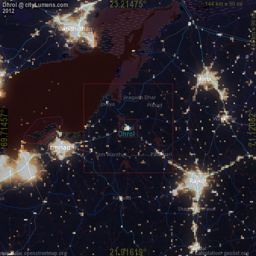
» Earth at Night: Flat Maps 2012, 2016