Chingleput night lights from space
Night Light of Chingleput (Tamil Nadu) from space (India) Src. Average luminocity for 10x10km area is 54.961% and for 50x50km: 34.5198%.
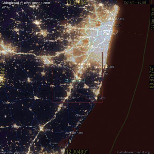
Analysis of Chingleput night lights 2016
Square area 10x10 km:
 2.6%
2.6%90-99
8.87%80-89
12.77%70-79
7.36%60-69
9.52%50-59
15.8%40-49
12.77%30-39
8.66%20-29
15.58%10-19
6.06%0-9
0%Square area 50x50 km:
1.28%90-99
5.93%80-89
9.33%70-79
4.01%60-69
6.24%50-59
6.19%40-49
5.66%30-39
5.79%20-29
7.35%10-19
16.23%0-9
32.01%Clear (daylight) street map image can be seen on geolist.org.
Map coordinates:
13° 22' 36.6" North, 79° 16' 24.6" East
12° 41' 30.6" North, 79° 58' 35.8" East
12° 0' 18" North, 80° 40' 47.1" East
Some cities around Chingleput sort by population:
• Gūduvāncheri
19.3 km =12 mi,  28°
28°
• Madurāntakam
22.4 km =13.9 mi,  206°
206°
• Madambakkam
19.4 km =12.1 mi,  23°
23°
• Vandalūr
25 km =15.5 mi, 26°
• Seven Pagodas
24.8 km =15.4 mi,  108°
108°
• Karumbākkam
12.5 km =7.8 mi,  84°
84°
• Wallajahbad
19.9 km =12.4 mi,  303°
303°
• Singapperumālkovil
8.2 km =5.1 mi, 24°
1274430 (p: 65,689)
Sources (retrieved 2019-11-25):
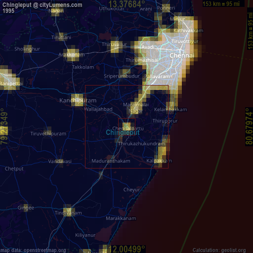
» NASA, Earths city lights 1995
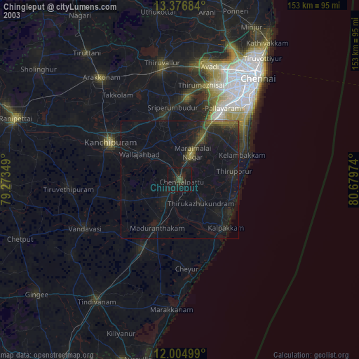
» NASA city lights 2003
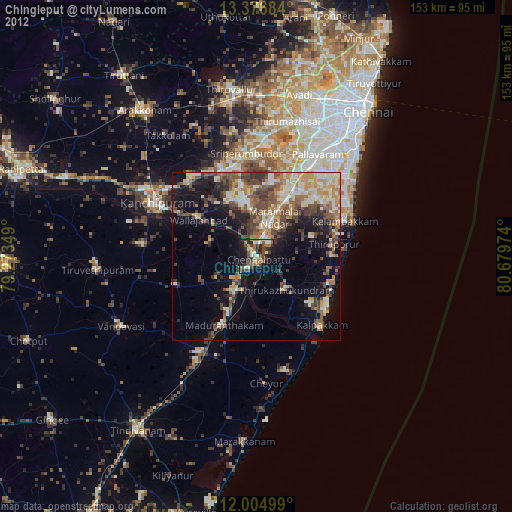
» Earth at Night: Flat Maps 2012, 2016