Beohāri night lights from space
Night Light of Beohāri (Madhya Pradesh) from space (India) Src. Average luminocity for 10x10km area is 14.911% and for 50x50km: 2.5759%.
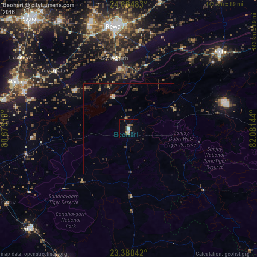
Analysis of Beohāri night lights 2016
Square area 10x10 km:
 1.89%
1.89%90-99
1.89%80-89
1.52%70-79
0.38%60-69
3.22%50-59
3.79%40-49
0.95%30-39
2.27%20-29
1.52%10-19
2.27%0-9
80.3%Square area 50x50 km:
0.15%90-99
0.21%80-89
0.16%70-79
0.18%60-69
0.32%50-59
0.49%40-49
0.6%30-39
0.82%20-29
0.69%10-19
0.9%0-9
95.46%Clear (daylight) street map image can be seen on geolist.org.
Map coordinates:
24° 39' 53.4" North, 80° 40' 30.7" East
24° 1' 27.2" North, 81° 22' 41.9" East
23° 22' 49.5" North, 82° 4' 53.2" East
Some cities around Beohāri sort by population:
• Rewa
57.2 km =35.5 mi,  351°
351°
• Sidhi
66.1 km =41.1 mi,  50°
50°
• Amarpātan
51.9 km =32.2 mi,  308°
308°
• Chorhat
53.7 km =33.4 mi,  33°
33°
• Gurh
54.6 km =33.9 mi,  13°
13°
• Barhi
58.8 km =36.5 mi,  256°
256°
• Govindgarh
40.3 km =25 mi, 348°
• Jaisinghnagar
37.6 km =23.4 mi,  178°
178°
1276455 (p: 22,107)
Sources (retrieved 2019-11-25):
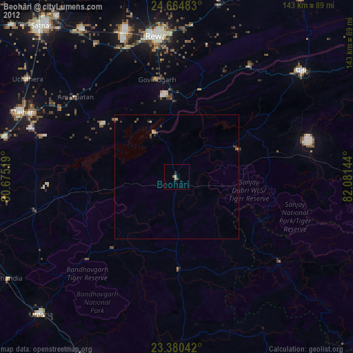
» Earth at Night: Flat Maps 2012, 2016