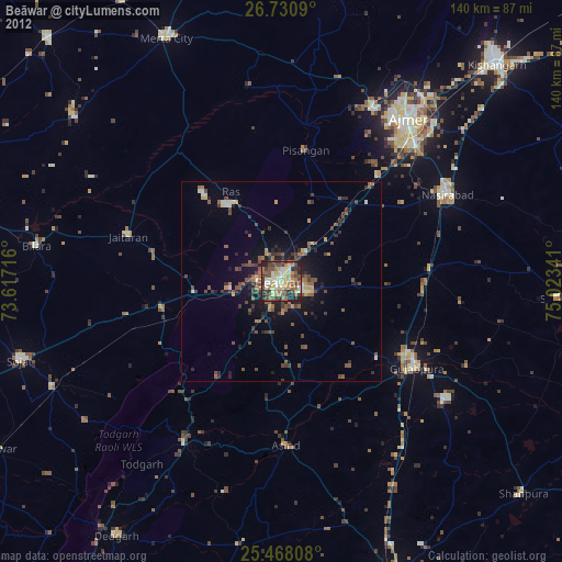
Beāwar night lights from space
Night Light of Beāwar (Rajasthan) from space (India) Src. Average luminocity for 10x10km area is 68.7143% and for 50x50km: 12.1717%.

Analysis of Beāwar night lights 2016
Square area 10x10 km:
 6.55%
6.55%90-99
24.4%80-89
7.74%70-79
8.93%60-69
8.53%50-59
20.24%40-49
15.87%30-39
4.37%20-29
3.37%10-19
0%0-9
0%Square area 50x50 km:
0.57%90-99
2.05%80-89
0.93%70-79
0.97%60-69
1.55%50-59
2.54%40-49
2.73%30-39
3.15%20-29
3.93%10-19
8.3%0-9
73.29%Clear (daylight) street map image can be seen on geolist.org.
Map coordinates:
26° 43' 51.2" North, 73° 37' 1.8" East
26° 6' 4.3" North, 74° 19' 13" East
25° 28' 5.1" North, 75° 1' 24.3" East
Some cities around Beāwar sort by population:
• Ajmer
50.3 km =31.3 mi,  39°
39°
• Nasīrābād
47 km =29.2 mi,  61°
61°
• Gulābpura
40.4 km =25.1 mi,  122°
122°
• Jaitāran
40 km =24.9 mi,  286°
286°
• Nīmāj
32.3 km =20.1 mi,  279°
279°
• Raipur
30.3 km =18.8 mi,  257°
257°
• Pushkar
49 km =30.4 mi,  28°
28°
• Āsind
40.8 km =25.4 mi,  178°
178°
1276634 (p: 130,777)
Sources (retrieved 2019-11-25):
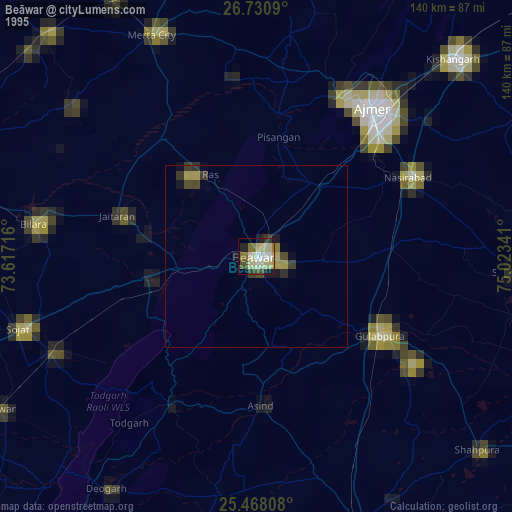
» NASA, Earths city lights 1995
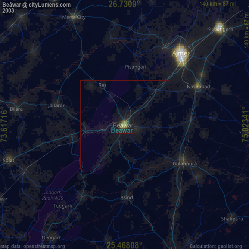
» NASA city lights 2003
» Earth at Night: Flat Maps 2012, 2016