Ajmer night lights from space
Night Light of Ajmer (Rajasthan) from space (India) Src. Average luminocity for 10x10km area is 89.8277% and for 50x50km: 20.2806%.
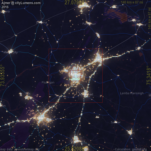
Analysis of Ajmer night lights 2016
Square area 10x10 km:
 25.19%
90-99
46.21%80-89
9.85%70-79
5.68%60-69
7.01%50-59
3.79%40-49
2.27%30-39
0%20-29
0%10-19
0%0-9
0%Square area 50x50 km:
2.29%90-99
4.68%80-89
1.84%70-79
1.97%60-69
2.03%50-59
3.49%40-49
3.66%30-39
3.82%20-29
6.19%10-19
12.99%0-9
57.04%Clear (daylight) street map image can be seen on geolist.org.
Map coordinates:
27° 4' 47.6" North, 73° 56' 8" East
26° 27' 7.6" North, 74° 38' 19.2" East
25° 49' 15.2" North, 75° 20' 30.5" East
Some cities around Ajmer sort by population:
• Kishangarh
26.3 km =16.3 mi,  54°
54°
• Beāwar
50.3 km =31.3 mi,  219°
219°
• Nasīrābād
18.9 km =11.7 mi,  150°
150°
• Merta
64 km =39.8 mi,  289°
289°
• Gulābpura
60.9 km =37.8 mi,  177°
177°
• Sarwār
57 km =35.4 mi,  139°
139°
• Pushkar
9.6 km =6 mi,  296°
296°
• Parvatsar
49.9 km =31 mi,  14°
14°
1279159 (p: 517,911)
Sources (retrieved 2019-11-25):
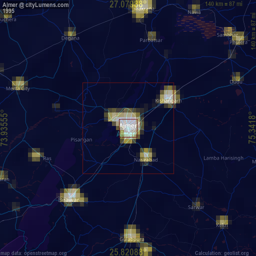
» NASA, Earths city lights 1995
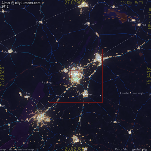
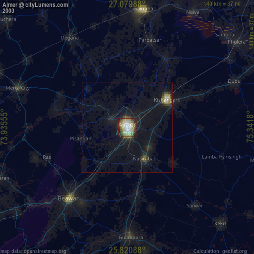
» NASA city lights 2003
» Earth at Night: Flat Maps 2012, 2016