Ambattūr night lights from space
Night Light of Ambattūr (Tamil Nadu) from space (India) Src. Average luminocity for 10x10km area is 98.0411% and for 50x50km: 63.3018%.
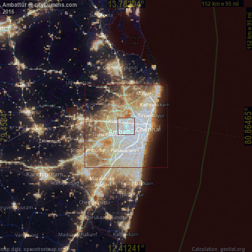
Analysis of Ambattūr night lights 2016
Square area 10x10 km:
 62.34%
90-99
29.87%80-89
7.36%70-79
0.43%60-69
0%50-59
0%40-49
0%30-39
0%20-29
0%10-19
0%0-9
0%Square area 50x50 km:
16.01%90-99
15.65%80-89
15.22%70-79
5.35%60-69
7.9%50-59
8.6%40-49
5.04%30-39
3.89%20-29
4.41%10-19
5.58%0-9
12.35%Clear (daylight) street map image can be seen on geolist.org.
Map coordinates:
13° 46' 55.3" North, 79° 27' 30.2" East
13° 5' 53.4" North, 80° 9' 41.5" East
12° 24' 44.7" North, 80° 51' 52.7" East
Some cities around Ambattūr sort by population:
• Āvadi
5.9 km =3.7 mi,  288°
288°
• Poonamalle
7.5 km =4.7 mi,  222°
222°
• Saint Thomas Mount
11.2 km =7 mi,  160°
160°
• Porur
7 km =4.3 mi,  182°
182°
• Nāravārikuppam
10.7 km =6.6 mi,  13°
13°
• Chetput
9.1 km =5.7 mi,  110°
110°
• Manappakkam
9.7 km =6 mi, 175°
• Vellānūr
8.9 km =5.5 mi,  318°
318°
1278840 (p: 341,049)
Sources (retrieved 2019-11-25):
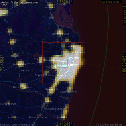
» NASA, Earths city lights 1995
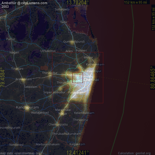
» NASA city lights 2003
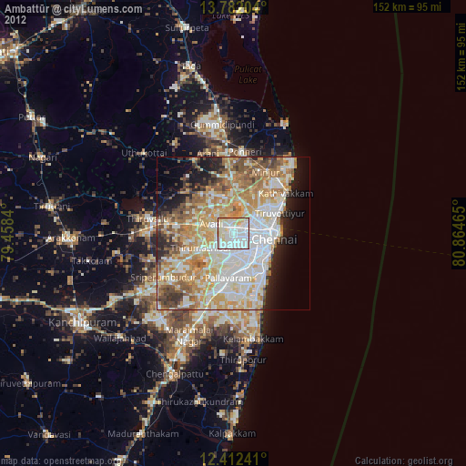
» Earth at Night: Flat Maps 2012, 2016