Alībāg night lights from space
Night Light of Alībāg (Maharashtra) from space (India) Src. Average luminocity for 10x10km area is 16.7686% and for 50x50km: 7.7191%.
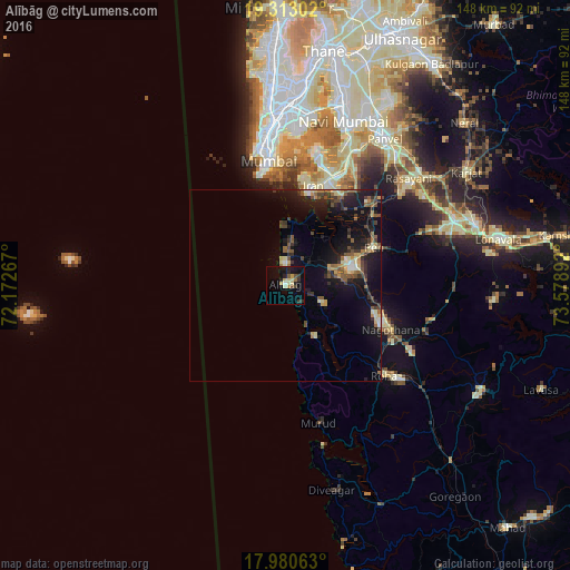
Analysis of Alībāg night lights 2016
Square area 10x10 km:
 0%
0%90-99
1.65%80-89
5.37%70-79
1.24%60-69
2.07%50-59
1.65%40-49
0.83%30-39
3.51%20-29
4.55%10-19
12.4%0-9
66.74%Square area 50x50 km:
0.24%90-99
0.88%80-89
1.06%70-79
0.73%60-69
0.83%50-59
1.71%40-49
1.15%30-39
1.48%20-29
2.18%10-19
8.37%0-9
81.38%Clear (daylight) street map image can be seen on geolist.org.
Map coordinates:
19° 18' 46.9" North, 72° 10' 21.6" East
18° 38' 53.3" North, 72° 52' 32.8" East
17° 58' 50.3" North, 73° 34' 44.1" East
Some cities around Alībāg sort by population:
• Panvel
45.2 km =28.1 mi,  33°
33°
• Roha
34.8 km =21.6 mi,  132°
132°
• Pen
25.2 km =15.7 mi,  66°
66°
• Uran
26.4 km =16.4 mi,  14°
14°
• Murud
36.7 km =22.8 mi,  165°
165°
• Nāgothana
29.7 km =18.5 mi,  113°
113°
• Revadanda
11.7 km =7.3 mi,  153°
153°
• Kālundri
45.4 km =28.2 mi,  35°
35°
1279027 (p: 20,752)
Sources (retrieved 2019-11-25):
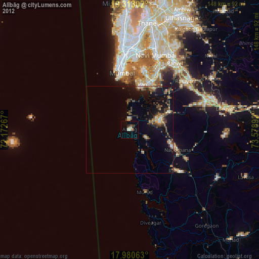
» Earth at Night: Flat Maps 2012, 2016