Roha night lights from space
Night Light of Roha (Maharashtra) from space (India) Src. Average luminocity for 10x10km area is 17.4959% and for 50x50km: 4.6425%.
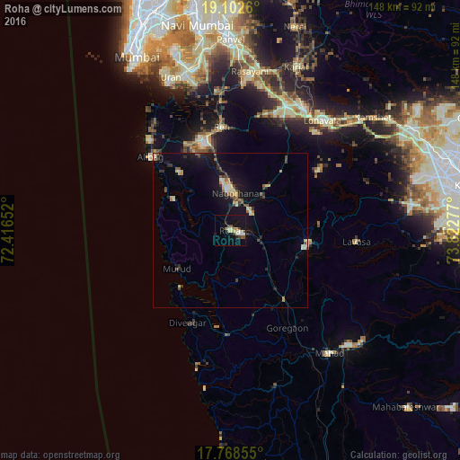
Analysis of Roha night lights 2016
Square area 10x10 km:
 1.03%
1.03%90-99
3.51%80-89
3.51%70-79
2.07%60-69
1.86%50-59
1.65%40-49
1.86%30-39
2.07%20-29
1.86%10-19
15.91%0-9
64.67%Square area 50x50 km:
0.13%90-99
0.66%80-89
0.89%70-79
0.37%60-69
0.45%50-59
0.71%40-49
0.54%30-39
0.71%20-29
0.91%10-19
4.67%0-9
89.98%Clear (daylight) street map image can be seen on geolist.org.
Map coordinates:
19° 6' 9.4" North, 72° 24' 59.5" East
18° 26' 12.7" North, 73° 7' 10.7" East
17° 46' 6.8" North, 73° 49' 22" East
Some cities around Roha sort by population:
• Pen
33.5 km =20.8 mi,  355°
355°
• Indāpur
20.5 km =12.7 mi,  137°
137°
• Alībāg
34.8 km =21.6 mi,  312°
312°
• Murud
20.6 km =12.8 mi,  233°
233°
• Nāgothana
11.8 km =7.3 mi,  7°
7°
• Revadanda
24.2 km =15 mi,  302°
302°
• Mhasla
33.8 km =21 mi,  181°
181°
• Goregaon
36.2 km =22.5 mi,  149°
149°
1258099 (p: 90,000)
Sources (retrieved 2019-11-25):
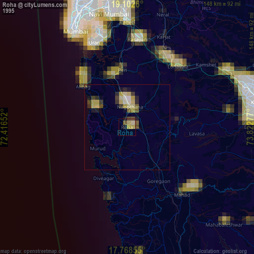
» NASA, Earths city lights 1995
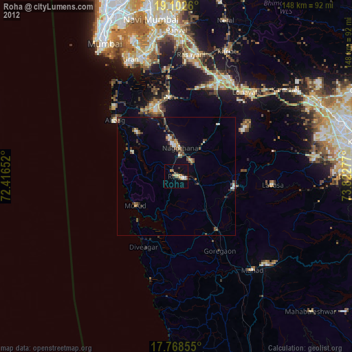
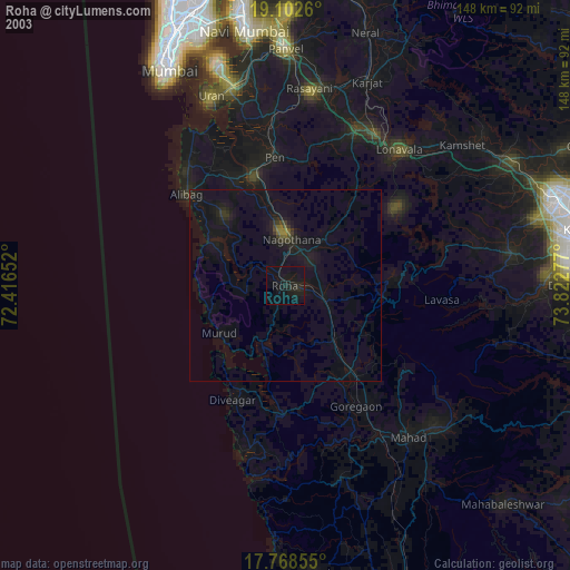
» NASA city lights 2003
» Earth at Night: Flat Maps 2012, 2016