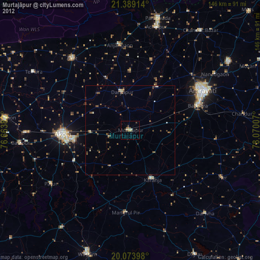
Murtajāpur night lights from space
Night Light of Murtajāpur (Maharashtra) from space (India) Src. Average luminocity for 10x10km area is 20.7841% and for 50x50km: 5.1234%.
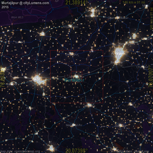
Analysis of Murtajāpur night lights 2016
Square area 10x10 km:
 1.33%
1.33%90-99
3.98%80-89
1.52%70-79
0.76%60-69
2.65%50-59
5.49%40-49
3.22%30-39
4.92%20-29
3.79%10-19
12.31%0-9
60.04%Square area 50x50 km:
0.16%90-99
0.43%80-89
0.38%70-79
0.43%60-69
0.87%50-59
1.13%40-49
0.89%30-39
1.27%20-29
1.65%10-19
1.62%0-9
91.16%Clear (daylight) street map image can be seen on geolist.org.
Map coordinates:
21° 23' 20.9" North, 76° 39' 49.8" East
20° 43' 58.8" North, 77° 22' 1" East
20° 4' 26.3" North, 78° 4' 12.3" East
Some cities around Murtajāpur sort by population:
• Amrāvati
45.6 km =28.3 mi,  60°
60°
• Akola
38.4 km =23.9 mi,  266°
266°
• Akot
51.5 km =32 mi,  321°
321°
• Kāranja
30.6 km =19 mi,  155°
155°
• Anjangaon
48.4 km =30.1 mi,  352°
352°
• Daryāpur
21.7 km =13.5 mi, 348°
• Mangrūl Pīr
46.7 km =29 mi,  183°
183°
• Pātūr
54 km =33.6 mi,  235°
235°
1262410 (p: 40,223)
Sources (retrieved 2019-11-25):
» Earth at Night: Flat Maps 2012, 2016