Tallaght night lights from space
Night Light of Tallaght (Leinster) from space (Ireland) Src. Average luminocity for 10x10km area is 70.077% and for 50x50km: 24.2648%.
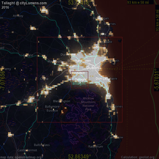
Analysis of Tallaght night lights 2016
Square area 10x10 km:
 27.53%
90-99
26.77%80-89
5.56%70-79
1.26%60-69
1.26%50-59
1.26%40-49
3.54%30-39
6.44%20-29
15.91%10-19
10.35%0-9
0.13%Square area 50x50 km:
8.26%90-99
5.49%80-89
1.75%70-79
1.84%60-69
1.76%50-59
1.72%40-49
2.33%30-39
2.71%20-29
5.13%10-19
10.75%0-9
58.26%Clear (daylight) street map image can be seen on geolist.org.
Map coordinates:
53° 42' 15" North, 7° 4' 35.6" West
53° 17' 9.2" North, 6° 22' 24.4" West
52° 51' 48.6" North, 5° 40' 13.1" West
Some cities around Tallaght sort by population:
• Knocklyon
2.9 km =1.8 mi,  102°
102°
• Clondalkin
4.6 km =2.9 mi,  339°
339°
• Crumlin
5.6 km =3.5 mi,  44°
44°
• Jobstown
2.4 km =1.5 mi,  250°
250°
• Oldbawn
1.2 km =0.7 mi,  161°
161°
• Ballyboden
3.8 km =2.4 mi, 98°
• Templeogue
4.4 km =2.7 mi,  76°
76°
• Firhouse
2.3 km =1.4 mi, 101°
2961284 (p: 64,282)
Sources (retrieved 2019-11-25):
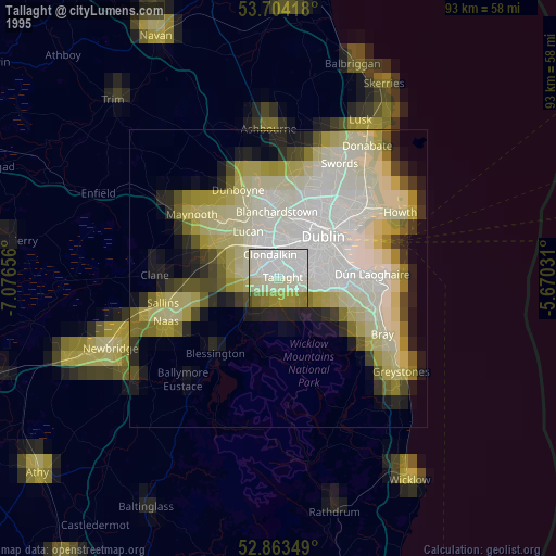
» NASA, Earths city lights 1995
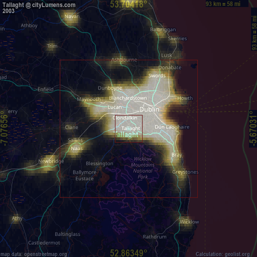
» NASA city lights 2003
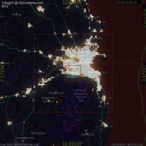
» Earth at Night: Flat Maps 2012, 2016