Sandyford night lights from space
Night Light of Sandyford (Leinster) from space (Ireland) Src. Average luminocity for 10x10km area is 71.6023% and for 50x50km: 22.309%.
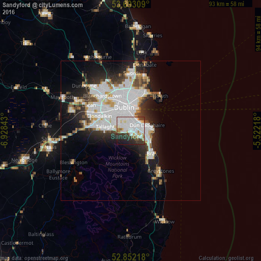
Analysis of Sandyford night lights 2016
Square area 10x10 km:
 33.21%
90-99
19.57%80-89
4.8%70-79
3.28%60-69
3.41%50-59
2.02%40-49
4.29%30-39
10.61%20-29
11.36%10-19
7.45%0-9
0%Square area 50x50 km:
8.1%90-99
5.21%80-89
1.57%70-79
1.55%60-69
1.49%50-59
1.48%40-49
2.05%30-39
2.52%20-29
4.98%10-19
8.44%0-9
62.62%Clear (daylight) street map image can be seen on geolist.org.
Map coordinates:
53° 41' 35.1" North, 6° 55' 42.3" West
53° 16' 28.9" North, 6° 13' 31.1" West
52° 51' 7.8" North, 5° 31' 19.8" West
Some cities around Sandyford sort by population:
• Foxrock
3.5 km =2.2 mi,  104°
104°
• Dundrum
2.8 km =1.7 mi,  309°
309°
• Donnybrook
4.3 km =2.7 mi,  2°
2°
• Balally
0.7 km =0.4 mi,  273°
273°
• Blackrock
4.3 km =2.7 mi,  46°
46°
• Ballinteer
1.9 km =1.2 mi, 267°
• Mount Merrion
2.9 km =1.8 mi,  13°
13°
• Booterstown
3.7 km =2.3 mi,  27°
27°
3315278 (p: 22,288)
Sources (retrieved 2019-11-25):
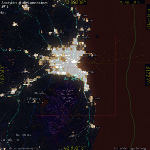
» Earth at Night: Flat Maps 2012, 2016