Ballinteer night lights from space
Night Light of Ballinteer (Leinster) from space (Ireland) Src. Average luminocity for 10x10km area is 68.9205% and for 50x50km: 22.6208%.
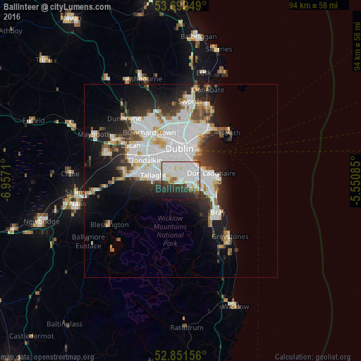
Analysis of Ballinteer night lights 2016
Square area 10x10 km:
 32.83%
90-99
19.19%80-89
3.91%70-79
2.27%60-69
3.28%50-59
1.52%40-49
3.28%30-39
8.33%20-29
14.27%10-19
10.23%0-9
0.88%Square area 50x50 km:
8.12%90-99
5.24%80-89
1.59%70-79
1.59%60-69
1.5%50-59
1.53%40-49
2.07%30-39
2.58%20-29
5.02%10-19
8.86%0-9
61.89%Clear (daylight) street map image can be seen on geolist.org.
Map coordinates:
53° 41' 33" North, 6° 57' 25.6" West
53° 16' 26.7" North, 6° 15' 14.3" West
52° 51' 5.6" North, 5° 33' 3.1" West
Some cities around Ballinteer sort by population:
• Sandyford
1.9 km =1.2 mi,  87°
87°
• Dundrum
1.9 km =1.2 mi,  353°
353°
• Ballyboden
4.2 km =2.6 mi,  279°
279°
• Balally
1.2 km =0.7 mi,  84°
84°
• Rathgar
4.7 km =2.9 mi,  342°
342°
• Mount Merrion
3.9 km =2.4 mi,  41°
41°
• Terenure
4.5 km =2.8 mi,  332°
332°
• Templeogue
4.3 km =2.7 mi,  302°
302°
6691010 (p: 8,547)
Sources (retrieved 2019-11-25):
» Earth at Night: Flat Maps 2012, 2016