Tanjungagung night lights from space
Night Light of Tanjungagung (South Sumatra) from space (Indonesia) Src. Average luminocity for 10x10km area is 0% and for 50x50km: 1.8551%.
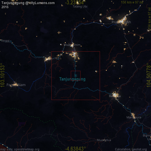

Analysis of Tanjungagung night lights 2016
Square area 10x10 km:
 0%
0%90-99
0%80-89
0%70-79
0%60-69
0%50-59
0%40-49
0%30-39
0%20-29
0%10-19
0%0-9
100%Square area 50x50 km:
0.12%90-99
0.12%80-89
0.17%70-79
0.2%60-69
0.34%50-59
0.29%40-49
0.57%30-39
0.56%20-29
0.3%10-19
1.17%0-9
96.16%Clear (daylight) street map image can be seen on geolist.org.
Map coordinates:
3° 14' 7.9" South, 103° 6' 5.5" East
3° 56' 14.2" South, 103° 48' 16.7" East
4° 38' 18.3" South, 104° 30' 28" East
Some cities around Tanjungagung sort by population:
• Palembang
154.2 km =95.8 mi,  42°
42°
• Lubuklinggau
126.7 km =78.7 mi,  304°
304°
• Baturaja
45.5 km =28.3 mi,  117°
117°
• Prabumulih
73.2 km =45.5 mi, 40°
• Pagar Alam
62.6 km =38.9 mi,  261°
261°
• Lahat
33.6 km =20.9 mi, 300°
• Curup
151.6 km =94.2 mi,  290°
290°
• Kotabumi
154.9 km =96.3 mi,  129°
129°
1624987 (p: 53,117)
Sources (retrieved 2019-11-25):
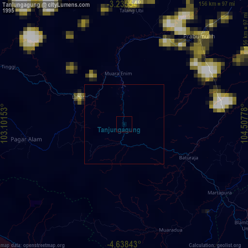
» NASA, Earths city lights 1995
» NASA city lights 2003
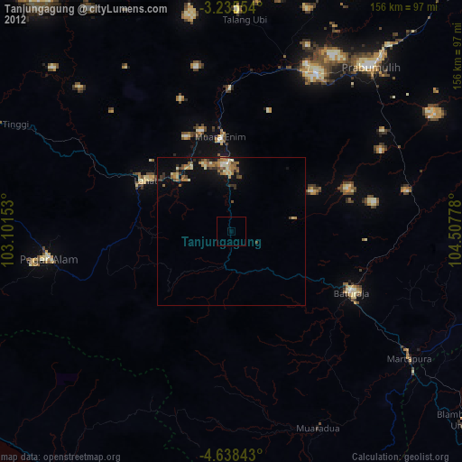
» Earth at Night: Flat Maps 2012, 2016