Pagar Alam night lights from space
Night Light of Pagar Alam (South Sumatra) from space (Indonesia) Src. Average luminocity for 10x10km area is 10.0844% and for 50x50km: 0.4766%.
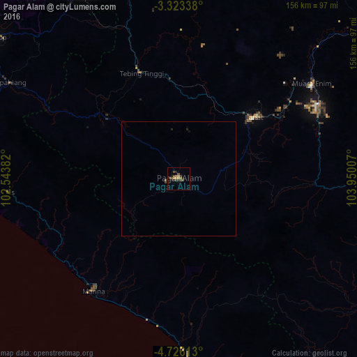
Analysis of Pagar Alam night lights 2016
Square area 10x10 km:
 0%
0%90-99
0%80-89
0%70-79
4.11%60-69
1.08%50-59
2.38%40-49
3.9%30-39
2.38%20-29
2.38%10-19
1.95%0-9
81.82%Square area 50x50 km:
0%90-99
0%80-89
0%70-79
0.16%60-69
0.04%50-59
0.13%40-49
0.17%30-39
0.11%20-29
0.16%10-19
0.11%0-9
99.12%Clear (daylight) street map image can be seen on geolist.org.
Map coordinates:
3° 19' 24.2" South, 102° 32' 37.8" East
4° 1' 30.2" South, 103° 14' 49" East
4° 43' 34.1" South, 103° 57' 0.3" East
Some cities around Pagar Alam sort by population:
• Bengkulu
111.7 km =69.4 mi,  282°
282°
• Lubuklinggau
91.8 km =57 mi,  332°
332°
• Baturaja
102.7 km =63.8 mi,  96°
96°
• Prabumulih
127.4 km =79.2 mi,  58°
58°
• Lahat
42.3 km =26.3 mi,  50°
50°
• Tanjungagung
62.6 km =38.9 mi,  81°
81°
• Curup
101.5 km =63.1 mi,  307°
307°
• Kotabumi
201.9 km =125.5 mi,  116°
116°
1633308 (p: 70,386)
Sources (retrieved 2019-11-25):
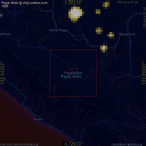
» NASA, Earths city lights 1995
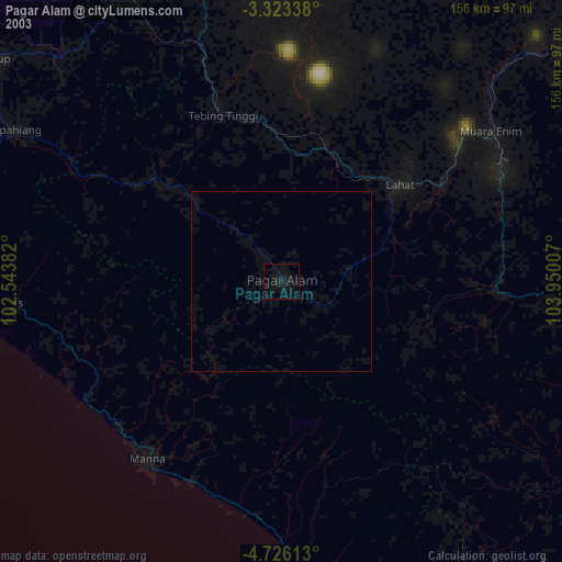
» NASA city lights 2003
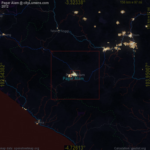
» Earth at Night: Flat Maps 2012, 2016