Lahat night lights from space
Night Light of Lahat (South Sumatra) from space (Indonesia) Src. Average luminocity for 10x10km area is 15.3377% and for 50x50km: 1.6364%.
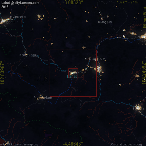
Analysis of Lahat night lights 2016
Square area 10x10 km:
 0.65%
0.65%90-99
0.43%80-89
2.6%70-79
3.03%60-69
1.95%50-59
2.6%40-49
3.9%30-39
7.14%20-29
0.87%10-19
0.22%0-9
76.62%Square area 50x50 km:
0.04%90-99
0.07%80-89
0.21%70-79
0.26%60-69
0.15%50-59
0.23%40-49
0.37%30-39
0.69%20-29
0.18%10-19
0.67%0-9
97.12%Clear (daylight) street map image can be seen on geolist.org.
Map coordinates:
3° 4' 59.8" South, 102° 50' 22.8" East
3° 47' 6.5" South, 103° 32' 34" East
4° 29' 11.1" South, 104° 14' 45.3" East
Some cities around Lahat sort by population:
• Palembang
164.8 km =102.4 mi,  54°
54°
• Bengkulu
141.7 km =88 mi,  269°
269°
• Lubuklinggau
93.2 km =57.9 mi,  305°
305°
• Baturaja
79.1 km =49.2 mi,  118°
118°
• Prabumulih
85.7 km =53.3 mi,  62°
62°
• Pagar Alam
42.3 km =26.3 mi,  230°
230°
• Tanjungagung
33.6 km =20.9 mi, 120°
• Curup
118.7 km =73.8 mi,  287°
287°
1638775 (p: 65,906)
Sources (retrieved 2019-11-25):
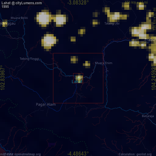
» NASA, Earths city lights 1995
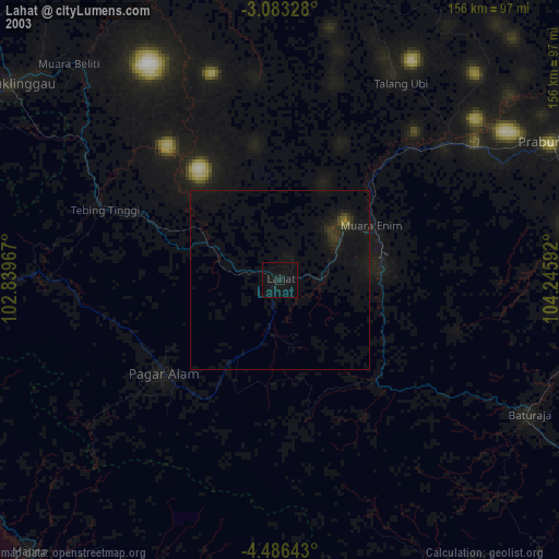
» NASA city lights 2003
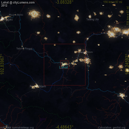
» Earth at Night: Flat Maps 2012, 2016