Kotabumi night lights from space
Night Light of Kotabumi (Lampung) from space (Indonesia) Src. Average luminocity for 10x10km area is 24.0517% and for 50x50km: 1.867%.
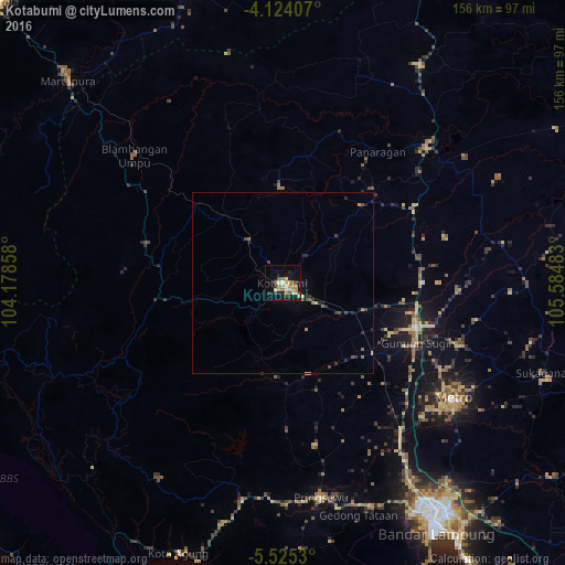
Analysis of Kotabumi night lights 2016
Square area 10x10 km:
 1.45%
1.45%90-99
3.31%80-89
4.13%70-79
4.55%60-69
3.31%50-59
3.93%40-49
2.48%30-39
2.89%20-29
5.58%10-19
17.98%0-9
50.41%Square area 50x50 km:
0.06%90-99
0.14%80-89
0.27%70-79
0.27%60-69
0.3%50-59
0.27%40-49
0.36%30-39
0.33%20-29
0.61%10-19
1.08%0-9
96.32%Clear (daylight) street map image can be seen on geolist.org.
Map coordinates:
4° 7' 26.7" South, 104° 10' 42.9" East
4° 49' 30.2" South, 104° 52' 54.1" East
5° 31' 31.1" South, 105° 35' 5.4" East
Some cities around Kotabumi sort by population:
• Bandar Lampung
79.2 km =49.2 mi,  147°
147°
• Serang
201 km =124.9 mi,  135°
135°
• Metro
56.9 km =35.4 mi,  124°
124°
• Baturaja
110.8 km =68.8 mi,  314°
314°
• Prabumulih
170.6 km =106 mi,  334°
334°
• Lahat
188.2 km =116.9 mi, 307°
• Tanjungagung
154.9 km =96.3 mi, 309°
• Terbanggi Besar
37.8 km =23.5 mi,  99°
99°
1639524 (p: 42,366)
Sources (retrieved 2019-11-25):
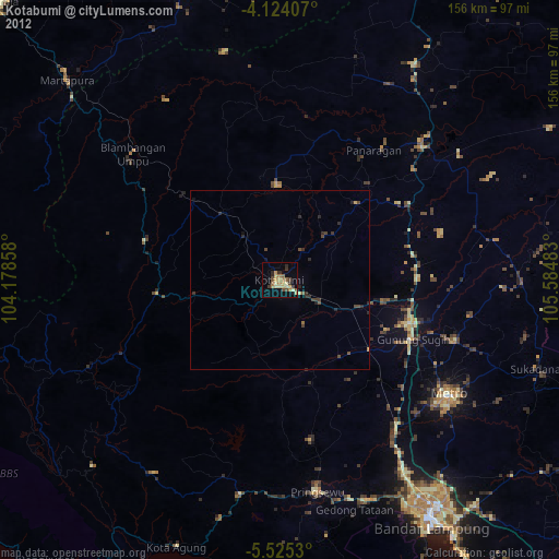
» Earth at Night: Flat Maps 2012, 2016