Purwodadi night lights from space
Night Light of Purwodadi (Central Java) from space (Indonesia) Src. Average luminocity for 10x10km area is 42.9437% and for 50x50km: 7.9684%.
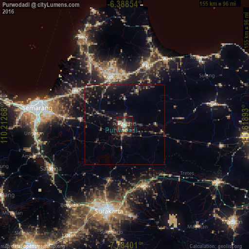
Analysis of Purwodadi night lights 2016
Square area 10x10 km:
 2.38%
2.38%90-99
9.74%80-89
4.55%70-79
4.55%60-69
9.31%50-59
8.23%40-49
5.63%30-39
6.49%20-29
19.91%10-19
28.14%0-9
1.08%Square area 50x50 km:
0.1%90-99
0.67%80-89
0.44%70-79
0.68%60-69
1.11%50-59
1.12%40-49
1.86%30-39
2.92%20-29
4%10-19
7.67%0-9
79.44%Clear (daylight) street map image can be seen on geolist.org.
Map coordinates:
6° 23' 18.7" South, 110° 12' 45.6" East
7° 5' 12.5" South, 110° 54' 56.9" East
7° 47' 2.4" South, 111° 37' 8.1" East
Some cities around Purwodadi sort by population:
• Pati
39.2 km =24.4 mi,  20°
20°
• Kudus
32.4 km =20.1 mi,  345°
345°
• Sragen
39.5 km =24.5 mi,  162°
162°
• Baekrajan
36.2 km =22.5 mi, 349°
• Gebog
39.9 km =24.8 mi, 348°
• Jekulo
31.3 km =19.4 mi,  2°
2°
• Demak
37.5 km =23.3 mi,  305°
305°
• Welahan
38.7 km =24 mi,  325°
325°
1630333 (p: 150,206)
Sources (retrieved 2019-11-25):
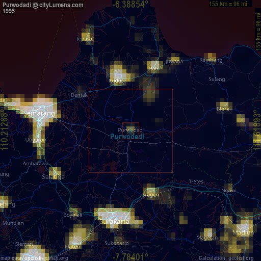
» NASA, Earths city lights 1995
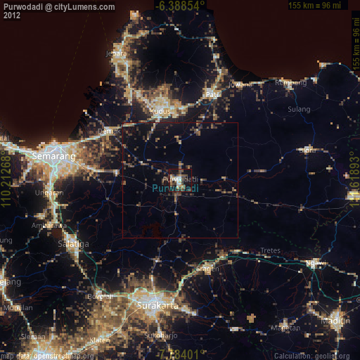
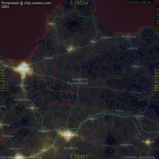
» NASA city lights 2003
» Earth at Night: Flat Maps 2012, 2016