Pati night lights from space
Night Light of Pati (Central Java) from space (Indonesia) Src. Average luminocity for 10x10km area is 53.7229% and for 50x50km: 16.1984%.
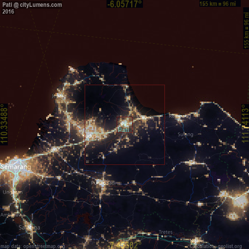
Analysis of Pati night lights 2016
Square area 10x10 km:
 1.95%
1.95%90-99
13.85%80-89
5.84%70-79
6.71%60-69
11.69%50-59
6.93%40-49
16.45%30-39
16.67%20-29
15.37%10-19
4.55%0-9
0%Square area 50x50 km:
0.37%90-99
2.54%80-89
1.86%70-79
2.66%60-69
2.52%50-59
1.94%40-49
3.62%30-39
4.24%20-29
6.52%10-19
11.47%0-9
62.27%Clear (daylight) street map image can be seen on geolist.org.
Map coordinates:
6° 3' 25.8" South, 110° 20' 5.6" East
6° 45' 21.2" South, 111° 2' 16.8" East
7° 27' 13" South, 111° 44' 28.1" East
Some cities around Pati sort by population:
• Kudus
22.5 km =14 mi,  255°
255°
• Baekrajan
20.3 km =12.6 mi,  266°
266°
• Rembangan
34 km =21.1 mi,  80°
80°
• Gebog
21.5 km =13.4 mi,  276°
276°
• Juwana
13.3 km =8.3 mi,  70°
70°
• Jekulo
13.5 km =8.4 mi,  245°
245°
• Tayu
24.1 km =15 mi,  3°
3°
• Welahan
35.8 km =22.2 mi, 262°
1631992 (p: 122,785)
Sources (retrieved 2019-11-25):
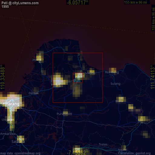
» NASA, Earths city lights 1995
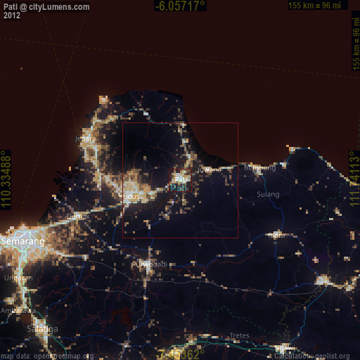
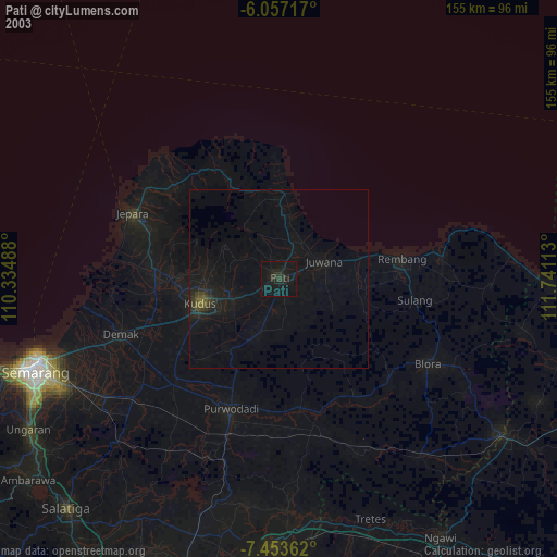
» NASA city lights 2003
» Earth at Night: Flat Maps 2012, 2016