Gebog night lights from space
Night Light of Gebog (Central Java) from space (Indonesia) Src. Average luminocity for 10x10km area is 42.9242% and for 50x50km: 24.4737%.
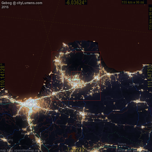
Analysis of Gebog night lights 2016
Square area 10x10 km:
 0.43%
0.43%90-99
8.23%80-89
6.93%70-79
8.44%60-69
7.79%50-59
6.06%40-49
10.39%30-39
12.12%20-29
9.74%10-19
17.75%0-9
12.12%Square area 50x50 km:
0.49%90-99
3.81%80-89
3.16%70-79
3.2%60-69
4.52%50-59
4.15%40-49
4.64%30-39
5.83%20-29
9.19%10-19
20.04%0-9
40.97%Clear (daylight) street map image can be seen on geolist.org.
Map coordinates:
6° 2' 10.5" South, 110° 8' 28.6" East
6° 44' 6" South, 110° 50' 39.8" East
7° 25' 57.9" South, 111° 32' 51.1" East
Some cities around Gebog sort by population:
• Pati
21.5 km =13.4 mi,  96°
96°
• Kudus
7.8 km =4.8 mi,  183°
183°
• Pecangaan
15.3 km =9.5 mi,  285°
285°
• Baekrajan
3.8 km =2.4 mi,  163°
163°
• Jekulo
12 km =7.5 mi,  131°
131°
• Mlonggo
27.5 km =17.1 mi,  324°
324°
• Demak
28.5 km =17.7 mi,  232°
232°
• Welahan
15.8 km =9.8 mi,  242°
242°
1644360 (p: 43,756)
Sources (retrieved 2019-11-25):
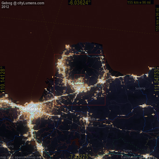
» Earth at Night: Flat Maps 2012, 2016