Bengkulu night lights from space
Night Light of Bengkulu from space (Indonesia) Src. Average luminocity for 10x10km area is 42.2078% and for 50x50km: 3.7529%.
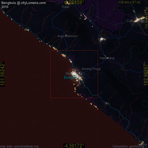

Analysis of Bengkulu night lights 2016
Square area 10x10 km:
 9.96%
9.96%90-99
14.29%80-89
4.11%70-79
1.73%60-69
3.46%50-59
3.68%40-49
0%30-39
1.73%20-29
12.99%10-19
35.06%0-9
12.99%Square area 50x50 km:
0.47%90-99
0.74%80-89
0.43%70-79
0.39%60-69
0.63%50-59
0.33%40-49
0.04%30-39
0.5%20-29
0.79%10-19
3.28%0-9
92.4%Clear (daylight) street map image can be seen on geolist.org.
Map coordinates:
3° 5' 54.9" South, 101° 33' 44.7" East
3° 48' 1.6" South, 102° 15' 55.9" East
4° 30' 6.2" South, 102° 58' 7.2" East
Some cities around Bengkulu sort by population:
• Lubuklinggau
86.8 km =53.9 mi,  49°
49°
• Baturaja
214 km =133 mi,  99°
99°
• Prabumulih
221.8 km =137.8 mi,  79°
79°
• Sungai Penuh
216.9 km =134.8 mi,  333°
333°
• Pagar Alam
111.7 km =69.4 mi, 102°
• Lahat
141.7 km =88 mi,  89°
89°
• Tanjungagung
171.4 km =106.5 mi, 95°
• Curup
46.4 km =28.8 mi,  37°
37°
1649150 (p: 309,712)
Sources (retrieved 2019-11-25):
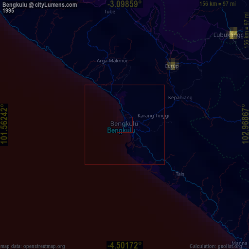
» NASA, Earths city lights 1995
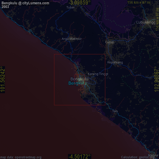
» NASA city lights 2003
» Earth at Night: Flat Maps 2012, 2016