Kuta night lights from space
Night Light of Kuta (Bali) from space (Indonesia) Src. Average luminocity for 10x10km area is 67.2335% and for 50x50km: 24.3946%.
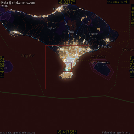
Analysis of Kuta night lights 2016
Square area 10x10 km:
 16.94%
90-99
24.17%80-89
7.44%70-79
4.34%60-69
4.34%50-59
5.79%40-49
3.93%30-39
15.7%20-29
15.08%10-19
2.27%0-9
0%Square area 50x50 km:
2.68%90-99
6.37%80-89
4.27%70-79
4.77%60-69
2.78%50-59
3.23%40-49
2.98%30-39
2.88%20-29
4.4%10-19
7.17%0-9
58.47%Clear (daylight) street map image can be seen on geolist.org.
Map coordinates:
8° 1' 39.7" South, 114° 28' 9.2" East
8° 43' 24" South, 115° 10' 20.4" East
9° 25' 3.5" South, 115° 52' 31.7" East
Some cities around Kuta sort by population:
• Denpasar
9.5 km =5.9 mi,  30°
30°
• Tabanan
20.9 km =13 mi,  345°
345°
• Amlapura city
56.6 km =35.2 mi,  57°
57°
• Ubud
25.9 km =16.1 mi,  23°
23°
• Klungkung
32.8 km =20.4 mi,  49°
49°
• Bedugul
55.3 km =34.4 mi, 56°
• Legian
2.1 km =1.3 mi, 353°
• Munduk
51.6 km =32.1 mi, 348°
1639002 (p: 30,012)
Sources (retrieved 2019-11-25):
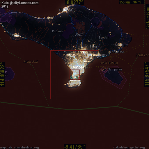
» Earth at Night: Flat Maps 2012, 2016