Amlapura city night lights from space
Night Light of Amlapura city (Bali) from space (Indonesia) Src. Average luminocity for 10x10km area is 19.2996% and for 50x50km: 2.9857%.
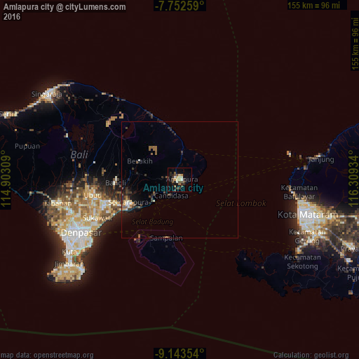
Analysis of Amlapura city night lights 2016
Square area 10x10 km:
 0.21%
0.21%90-99
3.93%80-89
2.27%70-79
2.69%60-69
1.45%50-59
1.86%40-49
7.02%30-39
2.27%20-29
6.2%10-19
7.02%0-9
65.08%Square area 50x50 km:
0.03%90-99
0.42%80-89
0.21%70-79
0.32%60-69
0.44%50-59
0.5%40-49
0.73%30-39
0.77%20-29
0.97%10-19
1.91%0-9
93.7%Clear (daylight) street map image can be seen on geolist.org.
Map coordinates:
7° 45' 9.3" South, 114° 54' 11.1" East
8° 26' 55.3" South, 115° 36' 22.4" East
9° 8' 36.7" South, 116° 18' 33.6" East
Some cities around Amlapura city sort by population:
• Denpasar
48.3 km =30 mi,  242°
242°
• Mataram
58.1 km =36.1 mi,  104°
104°
• Tabanan
53.9 km =33.5 mi,  258°
258°
• Kuta
56.6 km =35.2 mi, 237°
• Ubud
38.1 km =23.7 mi, 259°
• Klungkung
24.6 km =15.3 mi,  247°
247°
• Bedugul
1.5 km =0.9 mi, 262°
• Legian
55.7 km =34.6 mi, 239°
11919949 (p: 31,869)
Sources (retrieved 2019-11-25):
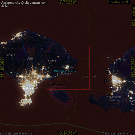
» Earth at Night: Flat Maps 2012, 2016