Bedugul night lights from space
Night Light of Bedugul (Bali) from space (Indonesia) Src. Average luminocity for 10x10km area is 19.6632% and for 50x50km: 3.4292%.
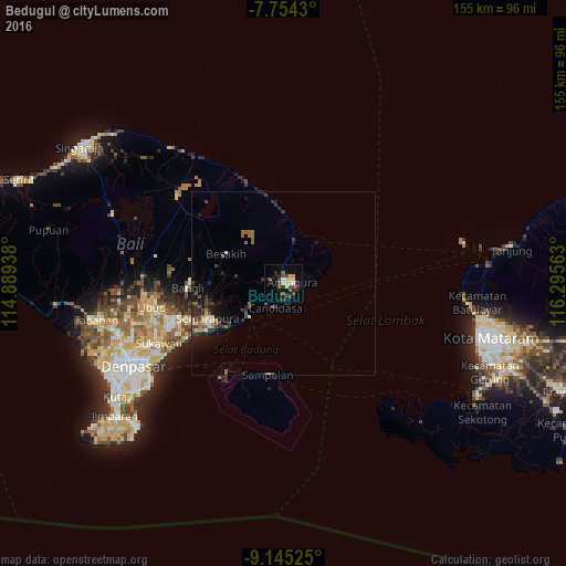
Analysis of Bedugul night lights 2016
Square area 10x10 km:
 0.21%
0.21%90-99
3.93%80-89
2.27%70-79
2.69%60-69
1.45%50-59
1.86%40-49
7.85%30-39
2.27%20-29
6.2%10-19
7.02%0-9
64.26%Square area 50x50 km:
0.03%90-99
0.45%80-89
0.29%70-79
0.35%60-69
0.45%50-59
0.59%40-49
0.8%30-39
0.98%20-29
1.26%10-19
2.3%0-9
92.5%Clear (daylight) street map image can be seen on geolist.org.
Map coordinates:
7° 45' 15.5" South, 114° 53' 21.8" East
8° 27' 1.4" South, 115° 35' 33" East
9° 8' 42.9" South, 116° 17' 44.3" East
Some cities around Bedugul sort by population:
• Denpasar
46.9 km =29.1 mi,  241°
241°
• Tabanan
52.4 km =32.6 mi,  258°
258°
• Amlapura
2.7 km =1.7 mi,  89°
89°
• Amlapura city
1.5 km =0.9 mi,  82°
82°
• Kuta
55.3 km =34.4 mi, 236°
• Ubud
36.6 km =22.7 mi, 259°
• Klungkung
23.1 km =14.4 mi,  246°
246°
• Legian
54.3 km =33.7 mi, 238°
7087175 (p: 20,000)
Sources (retrieved 2019-11-25):
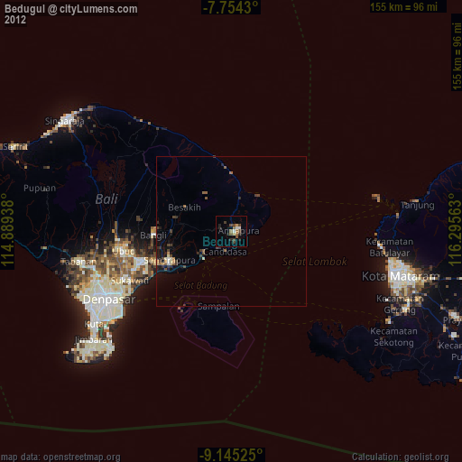
» Earth at Night: Flat Maps 2012, 2016