Metro night lights from space
Night Light of Metro (Lampung) from space (Indonesia) Src. Average luminocity for 10x10km area is 49.6136% and for 50x50km: 10.8813%.
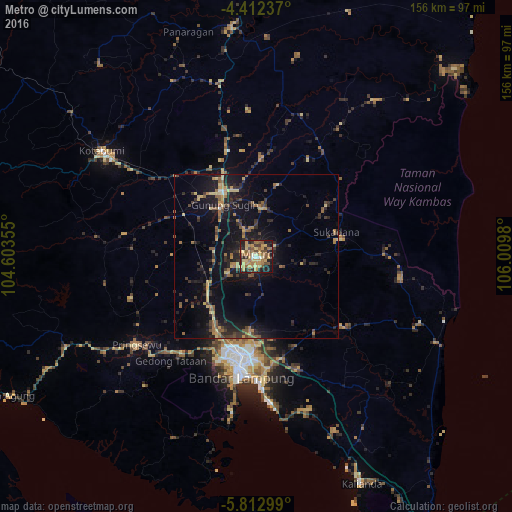
Analysis of Metro night lights 2016
Square area 10x10 km:
 1.45%
1.45%90-99
2.27%80-89
9.5%70-79
17.98%60-69
11.36%50-59
8.68%40-49
7.02%30-39
7.85%20-29
15.08%10-19
18.18%0-9
0.62%Square area 50x50 km:
0.1%90-99
0.19%80-89
1.76%70-79
1.78%60-69
2.01%50-59
1.91%40-49
1.46%30-39
2.49%20-29
4.19%10-19
10.9%0-9
73.22%Clear (daylight) street map image can be seen on geolist.org.
Map coordinates:
4° 24' 44.5" South, 104° 36' 12.8" East
5° 6' 47" South, 105° 18' 24" East
5° 48' 46.8" South, 106° 0' 35.3" East
Some cities around Metro sort by population:
• Bandar Lampung
35.5 km =22.1 mi,  188°
188°
• Serang
145.6 km =90.5 mi,  139°
139°
• Baturaja
167.1 km =103.8 mi,  310°
310°
• Kresek
164.1 km =102 mi,  133°
133°
• Pandeglang
159.7 km =99.2 mi,  146°
146°
• Terbanggi Besar
27.8 km =17.3 mi,  339°
339°
• Kotabumi
56.9 km =35.4 mi,  304°
304°
• Labuan
152.1 km =94.5 mi,  157°
157°
1635283 (p: 149,526)
Sources (retrieved 2019-11-25):
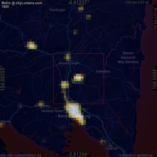
» NASA, Earths city lights 1995
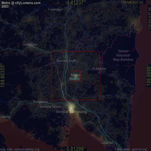
» NASA city lights 2003
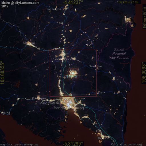
» Earth at Night: Flat Maps 2012, 2016