Dukuhturi night lights from space
Night Light of Dukuhturi (Central Java) from space (Indonesia) Src. Average luminocity for 10x10km area is 60.6429% and for 50x50km: 13.2143%.
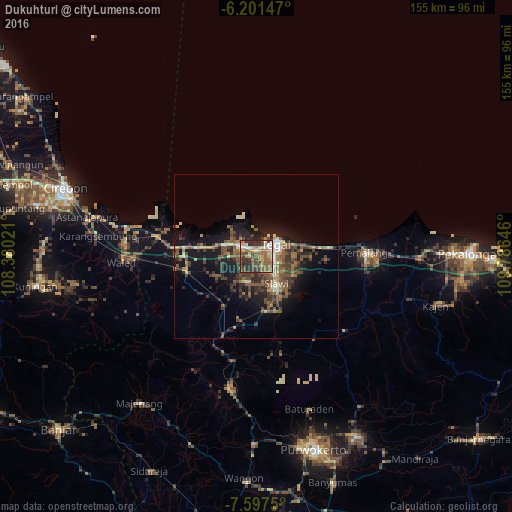
Analysis of Dukuhturi night lights 2016
Square area 10x10 km:
 6.93%
6.93%90-99
7.79%80-89
11.9%70-79
8.23%60-69
16.02%50-59
11.69%40-49
14.07%30-39
11.04%20-29
12.34%10-19
0%0-9
0%Square area 50x50 km:
0.67%90-99
1.36%80-89
1.19%70-79
1.31%60-69
2.47%50-59
3.21%40-49
3.64%30-39
3.36%20-29
3.94%10-19
9.39%0-9
69.46%Clear (daylight) street map image can be seen on geolist.org.
Map coordinates:
6° 12' 5.3" South, 108° 22' 48.8" East
6° 54' 0" South, 109° 4' 60" East
7° 35' 51" South, 109° 47' 11.3" East
Some cities around Dukuhturi sort by population:
• Tegal
7.1 km =4.4 mi,  61°
61°
• Adiwerna
6.8 km =4.2 mi,  127°
127°
• Tarub
9.9 km =6.2 mi,  111°
111°
• Slawi
11.1 km =6.9 mi,  145°
145°
• Ketanggungan
21.7 km =13.5 mi,  258°
258°
• Lebaksiu
17.9 km =11.1 mi,  158°
158°
• Balapulang
16.6 km =10.3 mi,  173°
173°
• Bulakamba
14.3 km =8.9 mi,  281°
281°
1645154 (p: 98,074)
Sources (retrieved 2019-11-25):
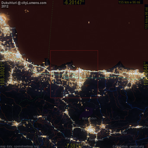
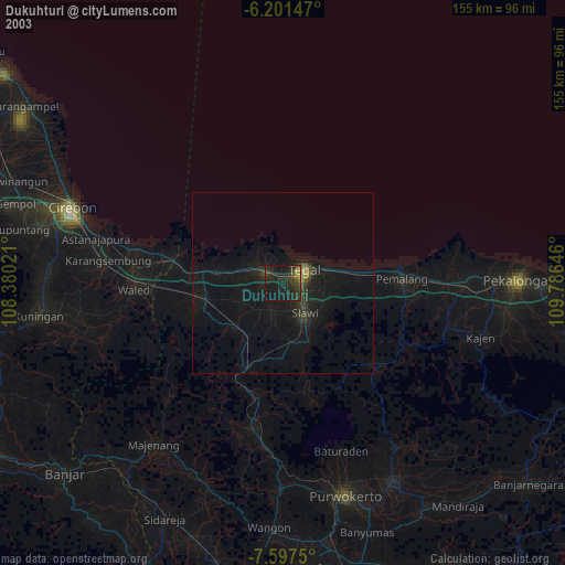
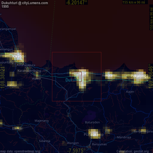
» NASA, Earths city lights 1995
» NASA city lights 2003
» Earth at Night: Flat Maps 2012, 2016