Ketanggungan night lights from space
Night Light of Ketanggungan (Central Java) from space (Indonesia) Src. Average luminocity for 10x10km area is 15.3268% and for 50x50km: 10.6475%.
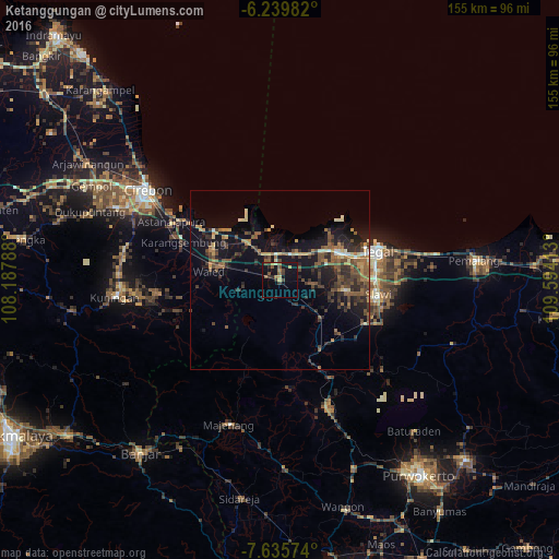
Analysis of Ketanggungan night lights 2016
Square area 10x10 km:
 0%
0%90-99
0.87%80-89
0.87%70-79
2.6%60-69
2.6%50-59
3.03%40-49
3.9%30-39
2.81%20-29
4.11%10-19
19.48%0-9
59.74%Square area 50x50 km:
0.25%90-99
0.78%80-89
0.87%70-79
1.3%60-69
1.78%50-59
2.22%40-49
3.05%30-39
2.61%20-29
3.54%10-19
9.46%0-9
74.13%Clear (daylight) street map image can be seen on geolist.org.
Map coordinates:
6° 14' 23.4" South, 108° 11' 16.4" East
6° 56' 17.9" South, 108° 53' 27.6" East
7° 38' 8.7" South, 109° 35' 38.9" East
Some cities around Ketanggungan sort by population:
• Tegal
28.6 km =17.8 mi,  74°
74°
• Adiwerna
26.7 km =16.6 mi,  89°
89°
• Dukuhturi
21.7 km =13.5 mi,  78°
78°
• Karangsembung
29.2 km =18.1 mi,  289°
289°
• Slawi
28 km =17.4 mi,  99°
99°
• Balapulang
26.2 km =16.3 mi,  117°
117°
• Margasari
22.7 km =14.1 mi,  142°
142°
• Bulakamba
10.1 km =6.3 mi,  45°
45°
1640138 (p: 44,288)
Sources (retrieved 2019-11-25):
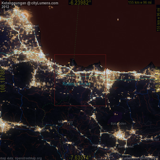
» Earth at Night: Flat Maps 2012, 2016