Amlapura night lights from space
Night Light of Amlapura (Bali) from space (Indonesia) Src. Average luminocity for 10x10km area is 18.7872% and for 50x50km: 2.7866%.
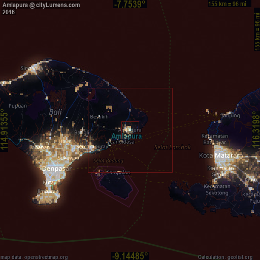
Analysis of Amlapura night lights 2016
Square area 10x10 km:
 0.21%
0.21%90-99
3.93%80-89
2.27%70-79
2.69%60-69
1.45%50-59
1.86%40-49
7.02%30-39
2.27%20-29
5.37%10-19
7.02%0-9
65.91%Square area 50x50 km:
0.03%90-99
0.42%80-89
0.21%70-79
0.3%60-69
0.37%50-59
0.42%40-49
0.72%30-39
0.69%20-29
0.86%10-19
1.7%0-9
94.27%Clear (daylight) street map image can be seen on geolist.org.
Map coordinates:
7° 45' 14" South, 114° 54' 48.8" East
8° 27' 0" South, 115° 37' 0" East
9° 8' 41.5" South, 116° 19' 11.3" East
Some cities around Amlapura sort by population:
• Denpasar
49.3 km =30.6 mi,  243°
243°
• Mataram
56.9 km =35.4 mi,  105°
105°
• Tabanan
55 km =34.2 mi,  259°
259°
• Kuta
57.5 km =35.7 mi, 238°
• Ubud
39.2 km =24.4 mi, 260°
• Klungkung
25.6 km =15.9 mi,  248°
248°
• Bedugul
2.7 km =1.7 mi,  269°
269°
• Legian
56.6 km =35.2 mi, 240°
1641301 (p: 31,869)
Sources (retrieved 2019-11-25):
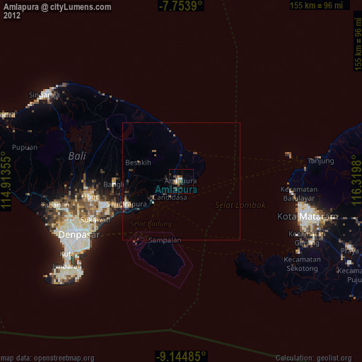
» Earth at Night: Flat Maps 2012, 2016