Ajka night lights from space
Night Light of Ajka (Veszprém) from space (Hungary) Src. Average luminocity for 10x10km area is 12.3338% and for 50x50km: 1.7559%.
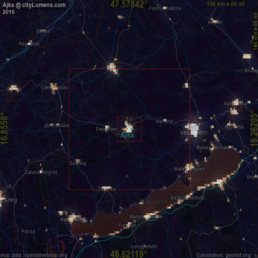
Analysis of Ajka night lights 2016
Square area 10x10 km:
 1.85%
1.85%90-99
2.7%80-89
1.14%70-79
0%60-69
2.7%50-59
0.99%40-49
1.85%30-39
1.85%20-29
0.57%10-19
1.7%0-9
84.66%Square area 50x50 km:
0.23%90-99
0.33%80-89
0.23%70-79
0.06%60-69
0.21%50-59
0.21%40-49
0.18%30-39
0.25%20-29
0.23%10-19
0.65%0-9
97.42%Clear (daylight) street map image can be seen on geolist.org.
Map coordinates:
47° 34' 42.3" North, 16° 51' 20.9" East
47° 6' 7.1" North, 17° 33' 32.1" East
46° 37' 16.3" North, 18° 15' 43.4" East
Some cities around Ajka sort by population:
• Veszprém
26.7 km =16.6 mi,  92°
92°
• Pápa
26.3 km =16.3 mi,  344°
344°
• Tapolca
26.1 km =16.2 mi,  200°
200°
• Balatonfüred
28.4 km =17.6 mi,  123°
123°
• Celldömölk
35.4 km =22 mi,  299°
299°
• Zirc
29.8 km =18.5 mi,  52°
52°
• Sümeg
25.2 km =15.7 mi,  236°
236°
• Devecser
9.2 km =5.7 mi,  270°
270°
3056357 (p: 31,407)
Sources (retrieved 2019-11-25):
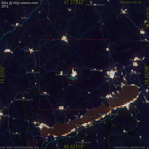
» Earth at Night: Flat Maps 2012, 2016