Vác night lights from space
Night Light of Vác (Pest) from space (Hungary) Src. Average luminocity for 10x10km area is 23.2381% and for 50x50km: 10.89%.
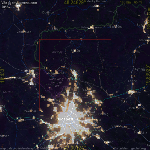
Analysis of Vác night lights 2016
Square area 10x10 km:
 2.38%
2.38%90-99
4.76%80-89
3.87%70-79
2.23%60-69
1.93%50-59
2.53%40-49
2.68%30-39
1.64%20-29
0.6%10-19
35.42%0-9
41.96%Square area 50x50 km:
1.62%90-99
1.78%80-89
0.96%70-79
0.89%60-69
1.54%50-59
1.85%40-49
1.47%30-39
2.32%20-29
3.07%10-19
8.57%0-9
75.92%Clear (daylight) street map image can be seen on geolist.org.
Map coordinates:
48° 14' 46.6" North, 18° 25' 58.8" East
47° 46' 33.3" North, 19° 8' 10" East
47° 18' 4.5" North, 19° 50' 21.3" East
Some cities around Vác sort by population:
• Dunakeszi
15.5 km =9.6 mi,  179°
179°
• Szentendre
12.7 km =7.9 mi,  200°
200°
• Fót
18 km =11.2 mi,  167°
167°
• Göd
10.3 km =6.4 mi, 180°
• Pomáz
16.9 km =10.5 mi,  208°
208°
• Veresegyház
18.7 km =11.6 mi,  140°
140°
• Erdőkertes
17.2 km =10.7 mi,  131°
131°
• Őrbottyán
14.7 km =9.1 mi, 132°
3043293 (p: 35,108)
Sources (retrieved 2019-11-25):
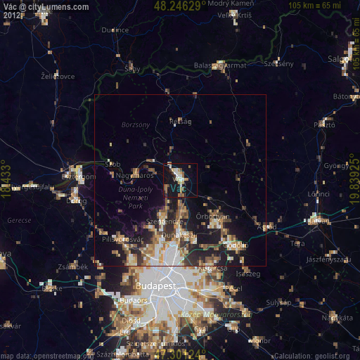
» Earth at Night: Flat Maps 2012, 2016