Szentendre night lights from space
Night Light of Szentendre (Pest) from space (Hungary) Src. Average luminocity for 10x10km area is 34.003% and for 50x50km: 23.7291%.
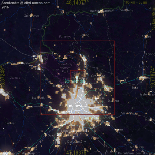
Analysis of Szentendre night lights 2016
Square area 10x10 km:
 4.02%
4.02%90-99
6.25%80-89
1.93%70-79
3.27%60-69
3.72%50-59
5.65%40-49
4.17%30-39
10.71%20-29
19.79%10-19
24.85%0-9
15.63%Square area 50x50 km:
8.12%90-99
3.97%80-89
1.78%70-79
1.74%60-69
2.28%50-59
2.81%40-49
2.37%30-39
3.73%20-29
4.19%10-19
11.79%0-9
57.23%Clear (daylight) street map image can be seen on geolist.org.
Map coordinates:
48° 8' 26.8" North, 18° 22' 21" East
47° 40' 9.9" North, 19° 4' 32.2" East
47° 11' 37.6" North, 19° 46' 43.5" East
Some cities around Szentendre sort by population:
• Budapest IV. kerület
12 km =7.5 mi,  175°
175°
• Budapest XV. kerület
12.3 km =7.6 mi,  165°
165°
• Vác
12.7 km =7.9 mi,  20°
20°
• Dunakeszi
6 km =3.7 mi,  127°
127°
• Fót
10.2 km =6.3 mi,  124°
124°
• Göd
4.6 km =2.9 mi,  70°
70°
• Pomáz
4.7 km =2.9 mi,  229°
229°
• Solymár
13.7 km =8.5 mi, 231°
3044681 (p: 23,606)
Sources (retrieved 2019-11-25):
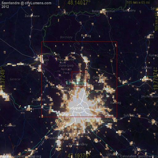
» Earth at Night: Flat Maps 2012, 2016