Tolna night lights from space
Night Light of Tolna from space (Hungary) Src. Average luminocity for 10x10km area is 4.6682% and for 50x50km: 2.0655%.
Analysis of Tolna night lights 2016
Square area 10x10 km:
100  0.3%
0.3%
90-99 0.89%
80-89 0.45%
70-79 0.74%
60-69 1.19%
50-59 0.6%
40-49 0%
30-39 0.89%
20-29 0%
10-19 0%
0-9 94.94%
0.3%90-99
0.89%80-89
0.45%70-79
0.74%60-69
1.19%50-59
0.6%40-49
0%30-39
0.89%20-29
0%10-19
0%0-9
94.94%Square area 50x50 km:
100 0.15%
90-99 0.28%
80-89 0.46%
70-79 0.22%
60-69 0.22%
50-59 0.19%
40-49 0.31%
30-39 0.25%
20-29 0.29%
10-19 0.47%
0-9 97.16%
0.15%90-99
0.28%80-89
0.46%70-79
0.22%60-69
0.22%50-59
0.19%40-49
0.31%30-39
0.25%20-29
0.29%10-19
0.47%0-9
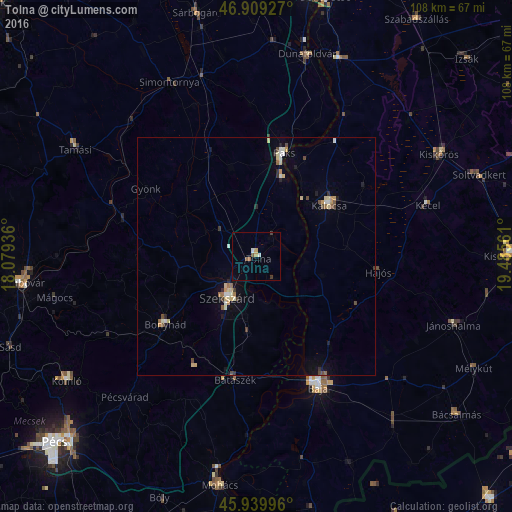
97.16%Clear (daylight) street map image can be seen on geolist.org.
Map coordinates:
46° 54' 33.4" North, 18° 4' 45.7" East
46° 25' 36.4" North, 18° 46' 56.9" East
45° 56' 23.9" North, 19° 29' 8.2" East
Some cities around Tolna sort by population:
• Baja
30.1 km =18.7 mi,  154°
154°
• Szekszárd
10.2 km =6.3 mi,  213°
213°
• Paks
22.4 km =13.9 mi,  14°
14°
• Kalocsa
18.5 km =11.5 mi,  51°
51°
• Bonyhád
24 km =14.9 mi,  233°
233°
• Kecel
37.6 km =23.4 mi,  73°
73°
• Dunaföldvár
43.7 km =27.2 mi, 14°
• Bátaszék
26.3 km =16.3 mi,  189°
189°
3043849 (p: 12,011)
Sources (retrieved 2019-11-25):
» Earth at Night: Flat Maps 2012, 2016