Paks night lights from space
Night Light of Paks (Tolna) from space (Hungary) Src. Average luminocity for 10x10km area is 10.473% and for 50x50km: 1.4741%.
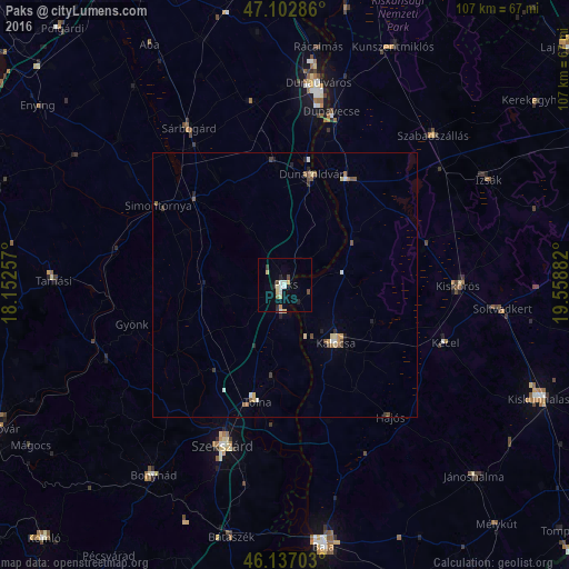
Analysis of Paks night lights 2016
Square area 10x10 km:
 1.14%
1.14%90-99
1.99%80-89
2.56%70-79
1.14%60-69
0.14%50-59
0.43%40-49
1.7%30-39
0.71%20-29
1.99%10-19
0.57%0-9
87.64%Square area 50x50 km:
0.12%90-99
0.21%80-89
0.28%70-79
0.15%60-69
0.14%50-59
0.23%40-49
0.28%30-39
0.19%20-29
0.25%10-19
0.14%0-9
98.02%Clear (daylight) street map image can be seen on geolist.org.
Map coordinates:
47° 6' 10.3" North, 18° 9' 9.3" East
46° 37' 19.6" North, 18° 51' 20.5" East
46° 8' 13.3" North, 19° 33' 31.8" East
Some cities around Paks sort by population:
• Szekszárd
32.3 km =20.1 mi,  200°
200°
• Kalocsa
13.6 km =8.5 mi,  138°
138°
• Kiskőrös
32.8 km =20.4 mi,  90°
90°
• Sárbogárd
34.5 km =21.4 mi,  328°
328°
• Tolna
22.4 km =13.9 mi,  194°
194°
• Kecel
32.1 km =19.9 mi,  109°
109°
• Dunaföldvár
21.3 km =13.2 mi,  14°
14°
• Solt
22.8 km =14.2 mi,  29°
29°
3046768 (p: 20,638)
Sources (retrieved 2019-11-25):
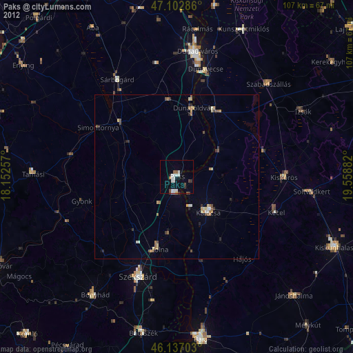
» Earth at Night: Flat Maps 2012, 2016