Kalocsa night lights from space
Night Light of Kalocsa (Bács-Kiskun) from space (Hungary) Src. Average luminocity for 10x10km area is 8.7045% and for 50x50km: 1.9212%.
Analysis of Kalocsa night lights 2016
Square area 10x10 km:
 0.71%
0.71%90-99
0.43%80-89
1.99%70-79
1.7%60-69
0.85%50-59
1.14%40-49
2.27%30-39
0.43%20-29
0.71%10-19
0.99%0-9
88.78%Square area 50x50 km:
0.13%90-99
0.29%80-89
0.4%70-79
0.23%60-69
0.22%50-59
0.21%40-49
0.28%30-39
0.28%20-29
0.26%10-19
0.36%0-9
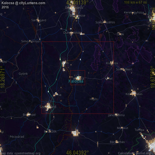
97.35%Clear (daylight) street map image can be seen on geolist.org.
Map coordinates:
47° 0' 41" North, 18° 16' 11" East
46° 31' 47.3" North, 18° 58' 22.2" East
46° 2' 38.1" North, 19° 40' 33.5" East
Some cities around Kalocsa sort by population:
• Szekszárd
28.4 km =17.6 mi,  225°
225°
• Paks
13.6 km =8.5 mi,  318°
318°
• Kiskőrös
26 km =16.2 mi,  66°
66°
• Tolna
18.5 km =11.5 mi, 231°
• Kecel
21.4 km =13.3 mi,  91°
91°
• Dunaföldvár
31 km =19.3 mi,  353°
353°
• Soltvadkert
32.7 km =20.3 mi,  80°
80°
• Solt
30.2 km =18.8 mi,  4°
4°
3050719 (p: 18,242)
Sources (retrieved 2019-11-25):
» Earth at Night: Flat Maps 2012, 2016