Kecel night lights from space
Night Light of Kecel (Bács-Kiskun) from space (Hungary) Src. Average luminocity for 10x10km area is 1.2798% and for 50x50km: 1.2799%.
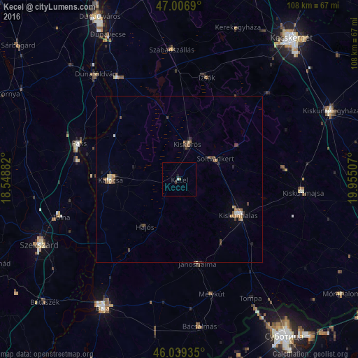
Analysis of Kecel night lights 2016
Square area 10x10 km:
 0.14%
0.14%90-99
0.43%80-89
0%70-79
0%60-69
0.57%50-59
0%40-49
0%30-39
0.57%20-29
0%10-19
0.57%0-9
97.73%Square area 50x50 km:
0.05%90-99
0.13%80-89
0.15%70-79
0.18%60-69
0.24%50-59
0.22%40-49
0.39%30-39
0.19%20-29
0.14%10-19
0.26%0-9
98.04%Clear (daylight) street map image can be seen on geolist.org.
Map coordinates:
47° 0' 24.8" North, 18° 32' 55.8" East
46° 31' 31" North, 19° 15' 7" East
46° 2' 21.7" North, 19° 57' 18.3" East
Some cities around Kecel sort by population:
• Kiskunhalas
20.5 km =12.7 mi,  119°
119°
• Paks
32.1 km =19.9 mi,  289°
289°
• Kalocsa
21.4 km =13.3 mi,  271°
271°
• Kiskőrös
11 km =6.8 mi,  13°
13°
• Jánoshalma
25.8 km =16 mi,  167°
167°
• Soltvadkert
12.4 km =7.7 mi,  61°
61°
• Izsák
32 km =19.9 mi, 13°
• Mélykút
35.9 km =22.3 mi,  163°
163°
3050454 (p: 9,155)
Sources (retrieved 2019-11-25):
» Earth at Night: Flat Maps 2012, 2016