Szigetszentmiklós night lights from space
Night Light of Szigetszentmiklós (Pest) from space (Hungary) Src. Average luminocity for 10x10km area is 43.1131% and for 50x50km: 27.1002%.
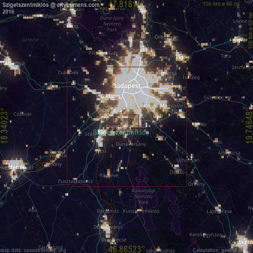
Analysis of Szigetszentmiklós night lights 2016
Square area 10x10 km:
 3.57%
3.57%90-99
3.13%80-89
3.27%70-79
7.14%60-69
9.67%50-59
8.93%40-49
12.2%30-39
19.2%20-29
10.71%10-19
19.35%0-9
2.83%Square area 50x50 km:
9.43%90-99
5.03%80-89
1.88%70-79
2.24%60-69
2.49%50-59
2.87%40-49
3.89%30-39
3.93%20-29
4.71%10-19
9.2%0-9
54.32%Clear (daylight) street map image can be seen on geolist.org.
Map coordinates:
47° 49' 5.2" North, 18° 20' 24.8" East
47° 20' 37.8" North, 19° 2' 36.1" East
46° 51' 54.8" North, 19° 44' 47.3" East
Some cities around Szigetszentmiklós sort by population:
• Budapest XXII. kerület
9.2 km =5.7 mi,  358°
358°
• Budapest XXIII. kerület
8.1 km =5 mi,  41°
41°
• Százhalombatta
8 km =5 mi,  258°
258°
• Dunaharaszti
4.3 km =2.7 mi,  73°
73°
• Tököl
6.6 km =4.1 mi,  248°
248°
• Halásztelek
5.1 km =3.2 mi,  293°
293°
• Taksony
2.4 km =1.5 mi,  131°
131°
• Dunavarsány
7.5 km =4.7 mi,  166°
166°
3044475 (p: 24,874)
Sources (retrieved 2019-11-25):
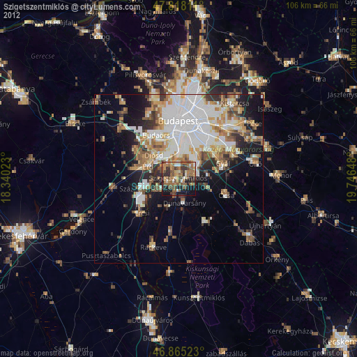
» Earth at Night: Flat Maps 2012, 2016