Carei night lights from space
Night Light of Carei (Satu Mare) from space (Romania) Src. Average luminocity for 10x10km area is 10.5595% and for 50x50km: 0.9278%.
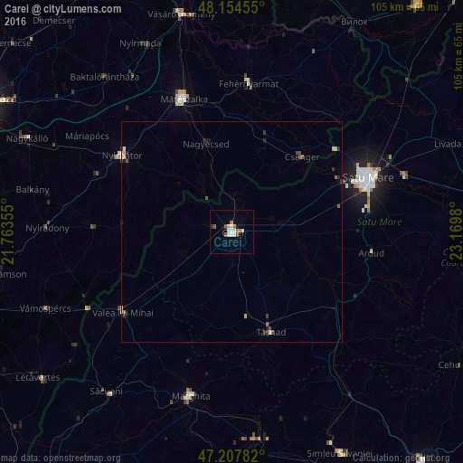
Analysis of Carei night lights 2016
Square area 10x10 km:
 1.19%
1.19%90-99
3.13%80-89
0.6%70-79
0.89%60-69
1.49%50-59
2.23%40-49
0.6%30-39
0.45%20-29
0.15%10-19
0%0-9
89.29%Square area 50x50 km:
0.08%90-99
0.17%80-89
0.11%70-79
0.08%60-69
0.08%50-59
0.22%40-49
0.14%30-39
0.15%20-29
0.15%10-19
0.13%0-9
98.69%Clear (daylight) street map image can be seen on geolist.org.
Map coordinates:
48° 9' 16.4" North, 21° 45' 48.8" East
47° 40' 60" North, 22° 28' 0" East
47° 12' 28.2" North, 23° 10' 11.3" East
Some cities around Carei sort by population:
• Mátészalka, HU
32.1 km =19.9 mi,  340°
340°
• Nyírbátor, HU
30 km =18.6 mi,  303°
303°
• Valea lui Mihai
30.1 km =18.7 mi,  232°
232°
• Tăşnad
23.9 km =14.9 mi,  158°
158°
• Nagyecsed, HU
21 km =13 mi, 344°
• Ardud
31.7 km =19.7 mi,  100°
100°
• Csenger, HU
23.3 km =14.5 mi,  43°
43°
• Sanislău
11.4 km =7.1 mi,  240°
240°
682685 (p: 20,775)
Sources (retrieved 2019-11-25):
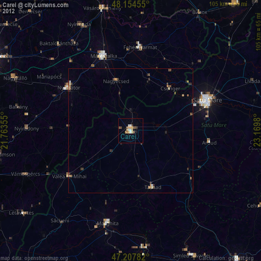
» Earth at Night: Flat Maps 2012, 2016