Kazincbarcika night lights from space
Night Light of Kazincbarcika (Borsod-Abaúj-Zemplén) from space (Hungary) Src. Average luminocity for 10x10km area is 13.5536% and for 50x50km: 3.4841%.
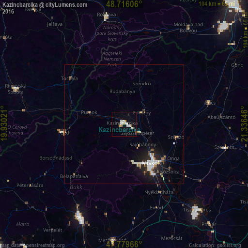
Analysis of Kazincbarcika night lights 2016
Square area 10x10 km:
 3.27%
3.27%90-99
3.13%80-89
0.74%70-79
2.08%60-69
0.45%50-59
0.45%40-49
0.74%30-39
0.15%20-29
1.34%10-19
2.53%0-9
85.12%Square area 50x50 km:
0.62%90-99
0.77%80-89
0.2%70-79
0.33%60-69
0.4%50-59
0.22%40-49
0.29%30-39
0.35%20-29
0.94%10-19
2.7%0-9
93.19%Clear (daylight) street map image can be seen on geolist.org.
Map coordinates:
48° 42' 57.8" North, 19° 55' 48.8" East
48° 15' 0" North, 20° 37' 60" East
47° 46' 46.8" North, 21° 20' 11.3" East
Some cities around Kazincbarcika sort by population:
• Miskolc
20 km =12.4 mi,  146°
146°
• Ózd
25 km =15.5 mi,  261°
261°
• Sajószentpéter
7.2 km =4.5 mi,  120°
120°
• Edelény
9.3 km =5.8 mi,  53°
53°
• Putnok
15.8 km =9.8 mi,  290°
290°
• Felsőzsolca
24 km =14.9 mi,  133°
133°
• Alsózsolca
27.2 km =16.9 mi,  137°
137°
• Szikszó
22.9 km =14.2 mi,  104°
104°
719311 (p: 32,396)
Sources (retrieved 2019-11-25):
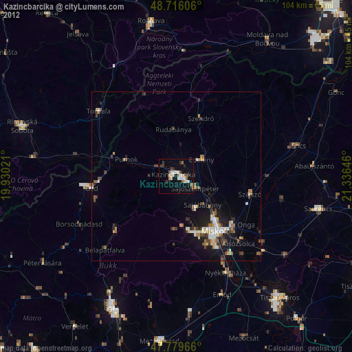
» Earth at Night: Flat Maps 2012, 2016