Dorog night lights from space
Night Light of Dorog (Komárom-Esztergom) from space (Hungary) Src. Average luminocity for 10x10km area is 15.3973% and for 50x50km: 8.7155%.
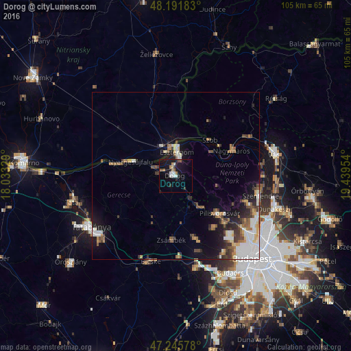
Analysis of Dorog night lights 2016
Square area 10x10 km:
 2.08%
2.08%90-99
2.68%80-89
1.19%70-79
1.04%60-69
1.93%50-59
1.79%40-49
0.6%30-39
1.79%20-29
2.23%10-19
21.28%0-9
63.39%Square area 50x50 km:
1.9%90-99
1.43%80-89
0.77%70-79
0.76%60-69
1.14%50-59
1.31%40-49
0.99%30-39
1.3%20-29
1.52%10-19
5.27%0-9
83.61%Clear (daylight) street map image can be seen on geolist.org.
Map coordinates:
48° 11' 30.6" North, 18° 1' 59.8" East
47° 43' 15.4" North, 18° 44' 11.1" East
47° 14' 44.8" North, 19° 26' 22.3" East
Some cities around Dorog sort by population:
• Esztergom
8 km =5 mi,  2°
2°
• Pilisvörösvár
17.6 km =10.9 mi,  132°
132°
• Štúrovo, SK
8.3 km =5.2 mi,  350°
350°
• Solymár
20.5 km =12.7 mi, 134°
• Nyergesújfalu
14.1 km =8.8 mi,  288°
288°
• Piliscsaba
11.9 km =7.4 mi,  144°
144°
• Tát
7 km =4.3 mi, 289°
• Lábatlan
18.2 km =11.3 mi,  279°
279°
3053562 (p: 12,658)
Sources (retrieved 2019-11-25):
» Earth at Night: Flat Maps 2012, 2016