Ács night lights from space
Night Light of Ács (Komárom-Esztergom) from space (Hungary) Src. Average luminocity for 10x10km area is 6.3795% and for 50x50km: 4.6195%.
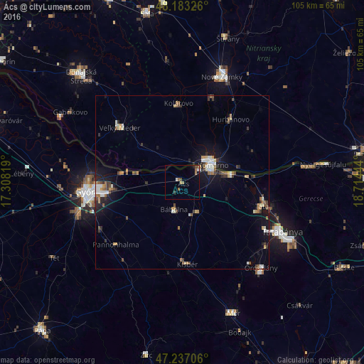
Analysis of Ács night lights 2016
Square area 10x10 km:
 0.6%
0.6%90-99
0.6%80-89
0%70-79
0.6%60-69
2.08%50-59
1.49%40-49
1.19%30-39
0.6%20-29
0.6%10-19
1.79%0-9
90.48%Square area 50x50 km:
0.52%90-99
0.72%80-89
0.34%70-79
0.58%60-69
0.66%50-59
0.65%40-49
0.53%30-39
0.77%20-29
0.74%10-19
3.7%0-9
90.79%Clear (daylight) street map image can be seen on geolist.org.
Map coordinates:
48° 10' 59.7" North, 17° 18' 29.5" East
47° 42' 44.3" North, 18° 0' 40.7" East
47° 14' 13.4" North, 18° 42' 52" East
Some cities around Ács sort by population:
• Győr
28.3 km =17.6 mi,  263°
263°
• Komárno, SK
10.1 km =6.3 mi,  55°
55°
• Tata
23.9 km =14.9 mi,  106°
106°
• Komárom
8.8 km =5.5 mi,  66°
66°
• Kolárovo, SK
23.5 km =14.6 mi,  355°
355°
• Veľký Meder, SK
24.3 km =15.1 mi,  311°
311°
• Hurbanovo, SK
22.1 km =13.7 mi,  37°
37°
• Kisbér
23.4 km =14.5 mi,  175°
175°
3056437 (p: 7,180)
Sources (retrieved 2019-11-25):
» Earth at Night: Flat Maps 2012, 2016