Győr night lights from space
Night Light of Győr (Győr-Moson-Sopron) from space (Hungary) Src. Average luminocity for 10x10km area is 51.5491% and for 50x50km: 4.1986%.
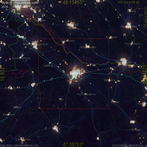
Analysis of Győr night lights 2016
Square area 10x10 km:
 14.73%
90-99
12.65%80-89
4.46%70-79
3.42%60-69
5.51%50-59
7.14%40-49
3.72%30-39
3.87%20-29
18.9%10-19
18.15%0-9
7.44%Square area 50x50 km:
0.67%90-99
0.72%80-89
0.28%70-79
0.33%60-69
0.62%50-59
0.63%40-49
0.6%30-39
0.6%20-29
1.2%10-19
2.73%0-9
91.64%Clear (daylight) street map image can be seen on geolist.org.
Map coordinates:
48° 9' 16.4" North, 16° 55' 55.2" East
47° 40' 60" North, 17° 38' 6.4" East
47° 12' 28.2" North, 18° 20' 17.7" East
Some cities around Győr sort by population:
• Mosonmagyaróvár
34.1 km =21.2 mi,  306°
306°
• Dunajská Streda, SK
34.4 km =21.4 mi,  357°
357°
• Komárom
36.8 km =22.9 mi,  79°
79°
• Csorna
29.9 km =18.6 mi,  254°
254°
• Veľký Meder, SK
21.8 km =13.5 mi,  27°
27°
• Ács
28.3 km =17.6 mi, 83°
• Kisbér
36.2 km =22.5 mi,  123°
123°
• Gabčíkovo, SK
23.6 km =14.7 mi,  349°
349°
3052009 (p: 128,265)
Sources (retrieved 2019-11-25):
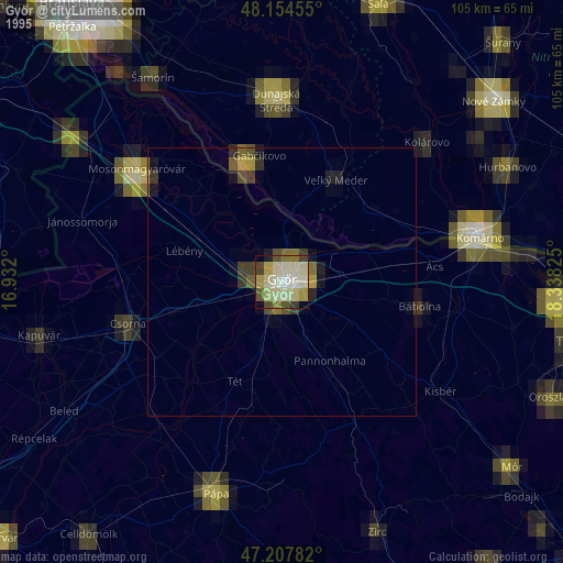
» NASA, Earths city lights 1995
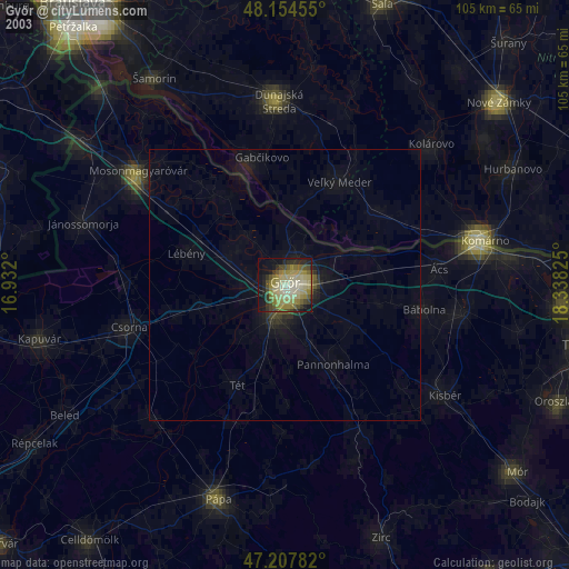
» NASA city lights 2003
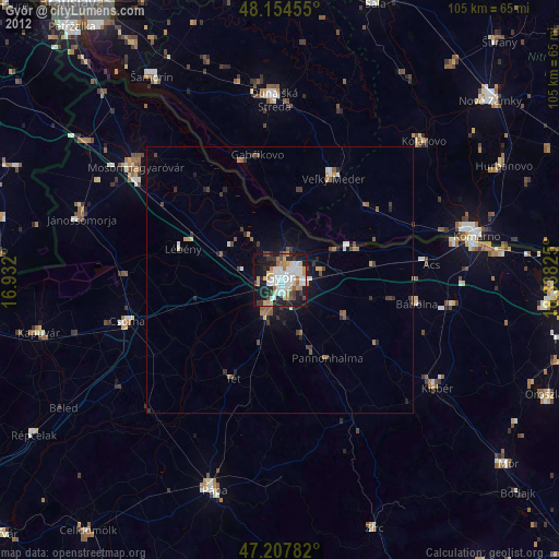
» Earth at Night: Flat Maps 2012, 2016