Rákóczifalva night lights from space
Night Light of Rákóczifalva (Jász-Nagykun-Szolnok) from space (Hungary) Src. Average luminocity for 10x10km area is 1.8438% and for 50x50km: 2.7059%.
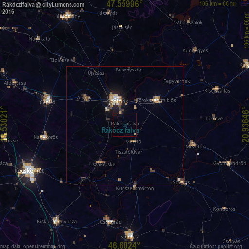
Analysis of Rákóczifalva night lights 2016
Square area 10x10 km:
 0%
0%90-99
0%80-89
0.43%70-79
0.43%60-69
0%50-59
0%40-49
0.14%30-39
0.14%20-29
0%10-19
1.99%0-9
96.88%Square area 50x50 km:
0.22%90-99
0.35%80-89
0.27%70-79
0.43%60-69
0.29%50-59
0.35%40-49
0.7%30-39
0.45%20-29
0.39%10-19
1.96%0-9
94.59%Clear (daylight) street map image can be seen on geolist.org.
Map coordinates:
47° 33' 35.9" North, 19° 31' 48.8" East
47° 4' 60" North, 20° 13' 60" East
46° 36' 8.6" North, 20° 56' 11.3" East
Some cities around Rákóczifalva sort by population:
• Szolnok
11.4 km =7.1 mi,  347°
347°
• Törökszentmiklós
17.8 km =11.1 mi,  51°
51°
• Abony
21 km =13 mi,  304°
304°
• Tiszaföldvár
11.2 km =7 mi,  173°
173°
• Tiszakécske
19.4 km =12.1 mi,  210°
210°
• Kunszentmárton
27.5 km =17.1 mi, 171°
• Fegyvernek
30.5 km =19 mi, 48°
• Újszász
26.6 km =16.5 mi,  334°
334°
716197 (p: 5,481)
Sources (retrieved 2019-11-25):
» Earth at Night: Flat Maps 2012, 2016