Pétionville night lights from space
Night Light of Pétionville (Ouest) from space (Haiti) Src. Average luminocity for 10x10km area is 56.0971% and for 50x50km: 9.3367%.
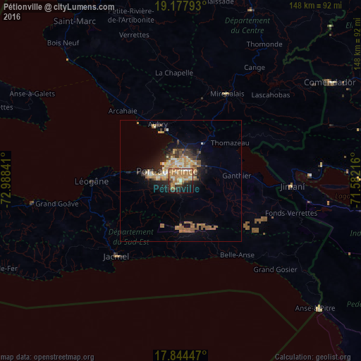
Analysis of Pétionville night lights 2016
Square area 10x10 km:
 0.41%
0.41%90-99
14.05%80-89
6.2%70-79
21.07%60-69
18.8%50-59
1.86%40-49
3.51%30-39
7.23%20-29
8.47%10-19
15.7%0-9
2.69%Square area 50x50 km:
0.19%90-99
1.41%80-89
1.26%70-79
1.9%60-69
2.42%50-59
1.57%40-49
0.82%30-39
1.64%20-29
1.91%10-19
5.04%0-9
81.85%Clear (daylight) street map image can be seen on geolist.org.
Map coordinates:
19° 10' 40.5" North, 72° 59' 18.3" West
18° 30' 45" North, 72° 17' 7" West
17° 50' 40.1" North, 71° 34' 55.8" West
Some cities around Pétionville sort by population:
• Port-au-Prince
6.6 km =4.1 mi,  301°
301°
• Carrefour
12.4 km =7.7 mi,  284°
284°
• Delmas 73
4 km =2.5 mi,  332°
332°
• Croix-des-Bouquets
9.5 km =5.9 mi,  41°
41°
• Thomazeau
25.5 km =15.8 mi,  52°
52°
• Kenscoff
7.2 km =4.5 mi,  178°
178°
• Gressier
25.7 km =16 mi, 277°
• Fond Parisien
32.1 km =19.9 mi,  91°
91°
3719028 (p: 283,052)
Sources (retrieved 2019-11-25):
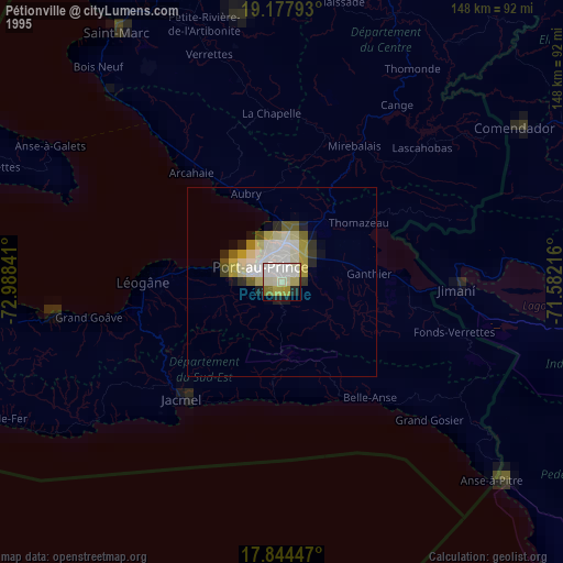
» NASA, Earths city lights 1995
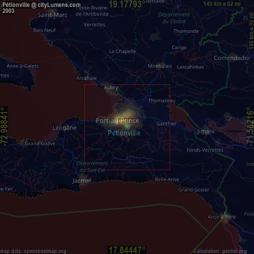
» NASA city lights 2003
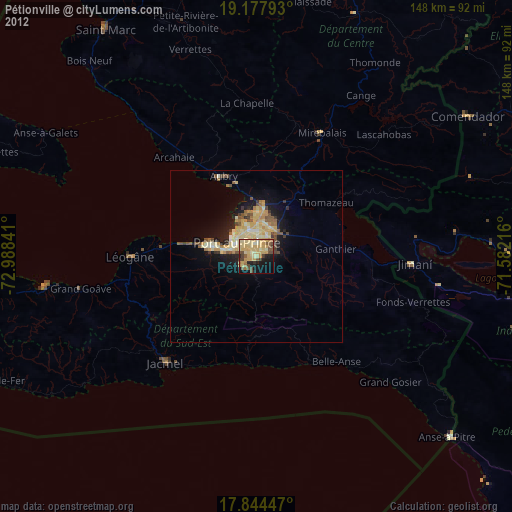
» Earth at Night: Flat Maps 2012, 2016