Les Cayes night lights from space
Night Light of Les Cayes (Sud) from space (Haiti) Src. Average luminocity for 10x10km area is 2.316% and for 50x50km: 0.107%.
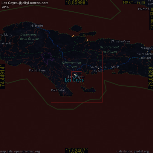
Analysis of Les Cayes night lights 2016
Square area 10x10 km:
 0%
0%90-99
0%80-89
0.87%70-79
0%60-69
0.87%50-59
0%40-49
0%30-39
0.87%20-29
1.73%10-19
0.87%0-9
94.81%Square area 50x50 km:
0%90-99
0%80-89
0.03%70-79
0%60-69
0.06%50-59
0.01%40-49
0%30-39
0.03%20-29
0.06%10-19
0.03%0-9
99.77%Clear (daylight) street map image can be seen on geolist.org.
Map coordinates:
18° 51' 36" North, 74° 26' 56.9" West
18° 11' 35.9" North, 73° 44' 45.6" West
17° 31' 26.7" North, 73° 2' 34.4" West
Some cities around Les Cayes sort by population:
• Tigwav
96.7 km =60.1 mi,  74°
74°
• Jérémie
64.1 km =39.8 mi,  322°
322°
• Miragoâne
74.8 km =46.5 mi, 67°
• Grangwav
106.2 km =66 mi,  75°
75°
• Les Anglais
51.5 km =32 mi,  283°
283°
• Anse à Galets
117 km =72.7 mi,  52°
52°
• Dame-Marie
82.2 km =51.1 mi,  299°
299°
• Aquin
38.4 km =23.9 mi, 75°
3728097 (p: 125,799)
Sources (retrieved 2019-11-25):
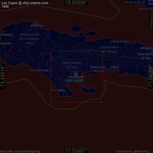
» NASA, Earths city lights 1995
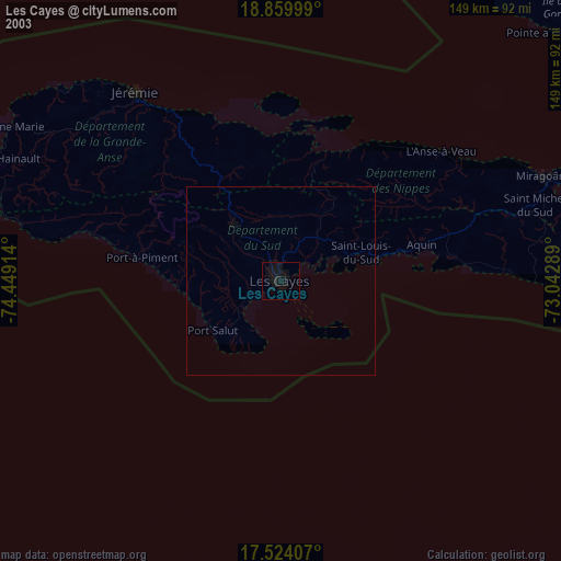
» NASA city lights 2003
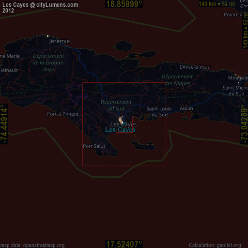
» Earth at Night: Flat Maps 2012, 2016