Dame-Marie night lights from space
Night Light of Dame-Marie (GrandʼAnse) from space (Haiti) Src. Average luminocity for 10x10km area is 0% and for 50x50km: 0%.
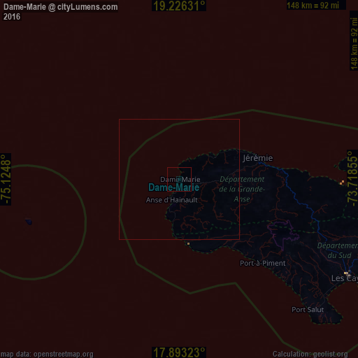
Analysis of Dame-Marie night lights 2016
Square area 10x10 km:
 0%
0%90-99
0%80-89
0%70-79
0%60-69
0%50-59
0%40-49
0%30-39
0%20-29
0%10-19
0%0-9
100%Square area 50x50 km:
0%90-99
0%80-89
0%70-79
0%60-69
0%50-59
0%40-49
0%30-39
0%20-29
0%10-19
0%0-9
100%Clear (daylight) street map image can be seen on geolist.org.
Map coordinates:
19° 13' 34.7" North, 75° 7' 29.3" West
18° 33' 39.9" North, 74° 25' 18" West
17° 53' 35.6" North, 73° 43' 6.8" West
Some cities around Dame-Marie sort by population:
• Les Cayes
82.2 km =51.1 mi,  119°
119°
• Tigwav
164.8 km =102.4 mi,  95°
95°
• Jérémie
33.6 km =20.9 mi,  72°
72°
• Miragoâne
141 km =87.6 mi, 95°
• Grangwav
174.8 km =108.6 mi,  94°
94°
• Les Anglais
35.5 km =22.1 mi,  143°
143°
• Anse à Galets
166.6 km =103.5 mi,  79°
79°
• Aquin
112.8 km =70.1 mi,  106°
106°
3727055 (p: 6,036)
Sources (retrieved 2019-11-25):
» Earth at Night: Flat Maps 2012, 2016