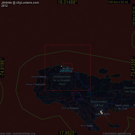
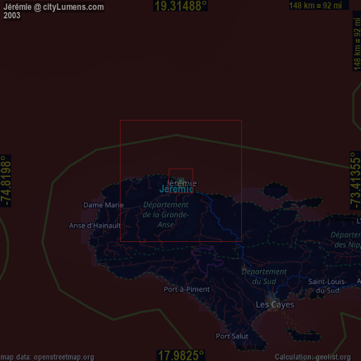
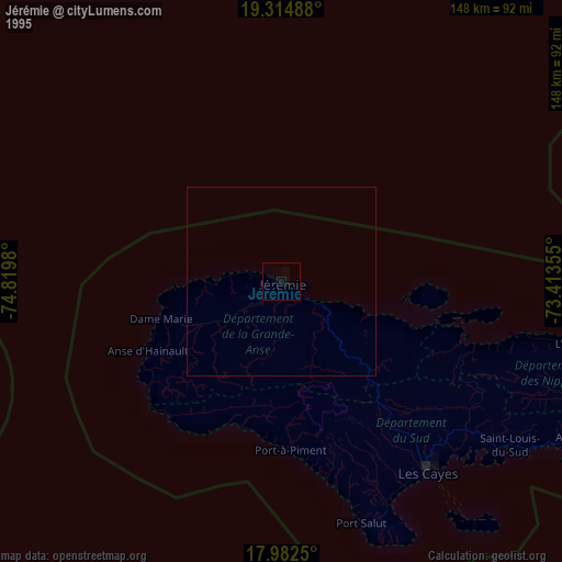
Jérémie night lights from space
Night Light of Jérémie (GrandʼAnse) from space (Haiti) Src. Average luminocity for 10x10km area is 0% and for 50x50km: 0%.
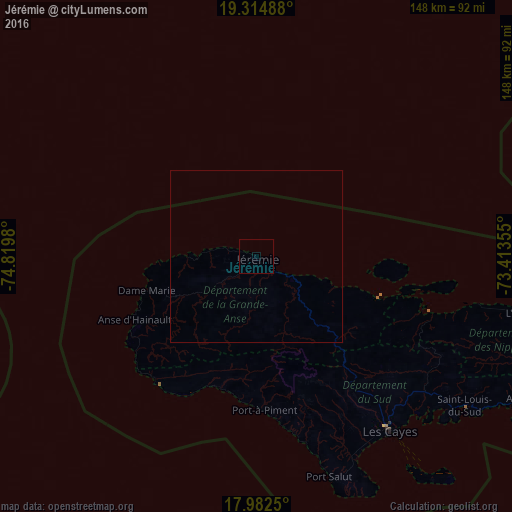
Analysis of Jérémie night lights 2016
Square area 10x10 km:
 0%
0%90-99
0%80-89
0%70-79
0%60-69
0%50-59
0%40-49
0%30-39
0%20-29
0%10-19
0%0-9
100%Square area 50x50 km:
0%90-99
0%80-89
0%70-79
0%60-69
0%50-59
0%40-49
0%30-39
0%20-29
0%10-19
0%0-9
100%Clear (daylight) street map image can be seen on geolist.org.
Map coordinates:
19° 18' 53.6" North, 74° 49' 11.3" West
18° 39' 0" North, 74° 7' 0" West
17° 58' 57" North, 73° 24' 48.8" West
Some cities around Jérémie sort by population:
• Les Cayes
64.1 km =39.8 mi,  142°
142°
• Tigwav
134.2 km =83.4 mi,  100°
100°
• Miragoâne
110.6 km =68.7 mi, 101°
• Grangwav
144.1 km =89.5 mi, 99°
• Les Anglais
39.8 km =24.7 mi,  195°
195°
• Anse à Galets
133.2 km =82.8 mi,  81°
81°
• Dame-Marie
33.6 km =20.9 mi,  252°
252°
• Aquin
86.6 km =53.8 mi,  118°
118°
3723593 (p: 97,503)
Sources (retrieved 2019-11-25):
» NASA, Earths city lights 1995
» NASA city lights 2003
» Earth at Night: Flat Maps 2012, 2016