Aquin night lights from space
Night Light of Aquin (Sud) from space (Haiti) Src. Average luminocity for 10x10km area is 0% and for 50x50km: 0.0205%.
Analysis of Aquin night lights 2016
Square area 10x10 km:
 0%
0%90-99
0%80-89
0%70-79
0%60-69
0%50-59
0%40-49
0%30-39
0%20-29
0%10-19
0%0-9
100%Square area 50x50 km:
0%90-99
0%80-89
0%70-79
0%60-69
0.02%50-59
0.01%40-49
0%30-39
0%20-29
0%10-19
0%0-9
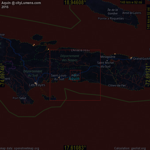
99.97%Clear (daylight) street map image can be seen on geolist.org.
Map coordinates:
18° 56' 45.9" North, 74° 5' 50.9" West
18° 16' 47.1" North, 73° 23' 39.6" West
17° 36' 39" North, 72° 41' 28.4" West
Some cities around Aquin sort by population:
• Léogâne
84.3 km =52.4 mi,  72°
72°
• Les Cayes
38.4 km =23.9 mi,  255°
255°
• Tigwav
58.3 km =36.2 mi, 73°
• Jérémie
86.6 km =53.8 mi,  298°
298°
• Miragoâne
37.1 km =23.1 mi,  60°
60°
• Grangwav
67.9 km =42.2 mi,  76°
76°
• Les Anglais
87.2 km =54.2 mi,  271°
271°
• Anse à Galets
83.1 km =51.6 mi,  42°
42°
3731095 (p: 5,246)
Sources (retrieved 2019-11-25):
» Earth at Night: Flat Maps 2012, 2016