Léogâne night lights from space
Night Light of Léogâne (Ouest) from space (Haiti) Src. Average luminocity for 10x10km area is 0.5909% and for 50x50km: 0.6168%.
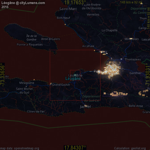
Analysis of Léogâne night lights 2016
Square area 10x10 km:
 0%
0%90-99
0%80-89
0%70-79
0%60-69
0%50-59
0%40-49
0.62%30-39
0.21%20-29
0%10-19
1.24%0-9
97.93%Square area 50x50 km:
0%90-99
0.13%80-89
0.06%70-79
0.06%60-69
0.03%50-59
0.1%40-49
0.02%30-39
0.26%20-29
0.11%10-19
0.54%0-9
98.68%Clear (daylight) street map image can be seen on geolist.org.
Map coordinates:
19° 10' 35.5" North, 73° 20' 11.6" West
18° 30' 40" North, 72° 38' 0.3" West
17° 50' 35.1" North, 71° 55' 49.1" West
Some cities around Léogâne sort by population:
• Port-au-Prince
31.3 km =19.4 mi,  83°
83°
• Carrefour
24.9 km =15.5 mi, 82°
• Delmas 73
35.1 km =21.8 mi, 83°
• Pétionville
36.7 km =22.8 mi,  89°
89°
• Jacmel
32.5 km =20.2 mi,  161°
161°
• Tigwav
26 km =16.2 mi,  250°
250°
• Grangwav
17.2 km =10.7 mi,  236°
236°
• Gressier
11.7 km =7.3 mi,  73°
73°
3722286 (p: 134,190)
Sources (retrieved 2019-11-25):
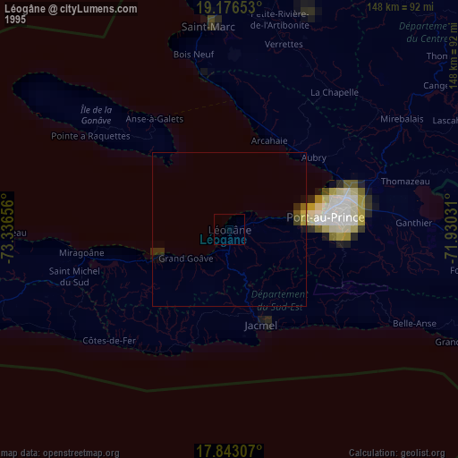
» NASA, Earths city lights 1995
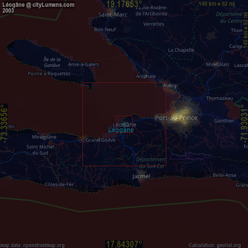
» NASA city lights 2003
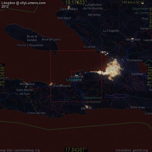
» Earth at Night: Flat Maps 2012, 2016