Bjelovar night lights from space
Night Light of Bjelovar (Bjelovarsko-Bilogorska) from space (Croatia) Src. Average luminocity for 10x10km area is 17.2024% and for 50x50km: 1.639%.
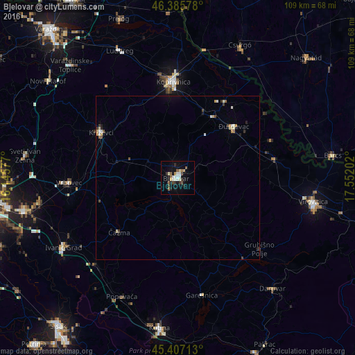
Analysis of Bjelovar night lights 2016
Square area 10x10 km:
 2.53%
2.53%90-99
3.27%80-89
1.93%70-79
1.19%60-69
1.64%50-59
2.38%40-49
2.38%30-39
1.49%20-29
2.98%10-19
12.35%0-9
67.86%Square area 50x50 km:
0.18%90-99
0.31%80-89
0.22%70-79
0.18%60-69
0.16%50-59
0.16%40-49
0.24%30-39
0.21%20-29
0.23%10-19
0.61%0-9
97.51%Clear (daylight) street map image can be seen on geolist.org.
Map coordinates:
46° 23' 8.8" North, 16° 8' 44.8" East
45° 53' 55" North, 16° 50' 56" East
45° 24' 25.7" North, 17° 33' 7.3" East
Some cities around Bjelovar sort by population:
• Koprivnica
29.4 km =18.3 mi,  356°
356°
• Virovitica
42.1 km =26.2 mi,  100°
100°
• Popovača
40.5 km =25.2 mi,  205°
205°
• Križevci
27.4 km =17 mi,  300°
300°
• Daruvar
45 km =28 mi,  139°
139°
• Đurđevac
23.3 km =14.5 mi,  47°
47°
• Pitomača
30 km =18.6 mi,  78°
78°
• Csurgó, HU
43.9 km =27.3 mi,  26°
26°
3203982 (p: 28,275)
Sources (retrieved 2019-11-25):
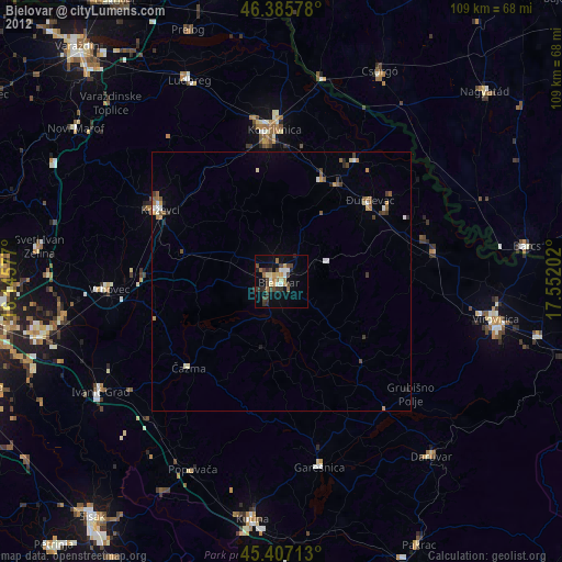
» Earth at Night: Flat Maps 2012, 2016