Csurgó night lights from space
Night Light of Csurgó (Somogy) from space (Hungary) Src. Average luminocity for 10x10km area is 3.1741% and for 50x50km: 2.7829%.
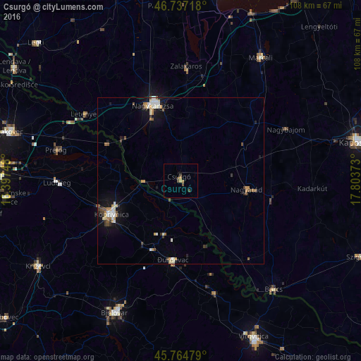
Analysis of Csurgó night lights 2016
Square area 10x10 km:
 0%
0%90-99
0%80-89
0%70-79
1.79%60-69
0%50-59
0.15%40-49
2.83%30-39
0%20-29
0%10-19
0%0-9
95.24%Square area 50x50 km:
0.37%90-99
0.46%80-89
0.31%70-79
0.48%60-69
0.23%50-59
0.32%40-49
0.46%30-39
0.31%20-29
0.26%10-19
1.84%0-9
94.98%Clear (daylight) street map image can be seen on geolist.org.
Map coordinates:
46° 44' 13.8" North, 16° 23' 50.9" East
46° 15' 11.3" North, 17° 6' 2.2" East
45° 45' 53.2" North, 17° 48' 13.4" East
Some cities around Csurgó sort by population:
• Nagykanizsa
23.8 km =14.8 mi,  339°
339°
• Bjelovar, HR
43.9 km =27.3 mi,  206°
206°
• Koprivnica, HR
23.3 km =14.5 mi,  244°
244°
• Marcali
43.9 km =27.3 mi,  32°
32°
• Barcs
42.7 km =26.5 mi,  139°
139°
• Nagyatád
20 km =12.4 mi,  97°
97°
• Đurđevac, HR
23.7 km =14.7 mi,  185°
185°
• Pitomača, HR
35.1 km =21.8 mi,  163°
163°
3053863 (p: 5,682)
Sources (retrieved 2019-11-25):
» Earth at Night: Flat Maps 2012, 2016